Uamh Mhòr
Map
Facts and practical information
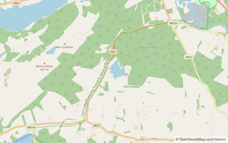
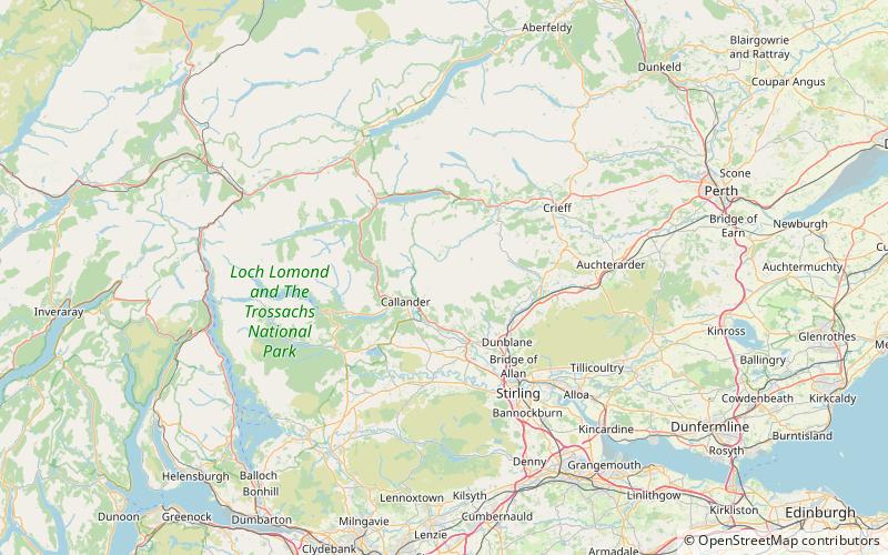
Uamh Mhòr is a summit in Kilmadock parish in Stirling council area, Scotland, north of the River Teith between Callander and Doune. The name means "Great Cave", referring to a large cave in the cliff face which was a hideout for brigands into the eighteenth century. The peak is actually a southern top of Uamh Bheag to the north; despite the name suggesting a smaller hill, Uamh Bheag is actually higher at 664 metres compared to just over 600 metres. ()
Coordinates: 56°16'35"N, 4°7'8"W
Location
Scotland
ContactAdd
Social media
Add
Day trips