Greenbank, Edinburgh
Map
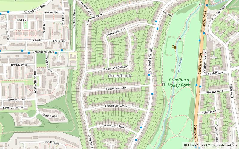
Map

Facts and practical information
Greenbank is a residential district of south Edinburgh, Scotland. It is situated between the districts of Morningside and Oxgangs, i.e. slightly to the south-west of the heart of Morningside. ()
Coordinates: 55°54'57"N, 3°13'9"W
Address
GreenbankEdinburgh
ContactAdd
Social media
Add
Day trips
Greenbank – popular in the area (distance from the attraction)
Nearby attractions include: Royal Observatory, Mortonhall Golf Club, Hermitage of Braid, Dominion Cinema.
Frequently Asked Questions (FAQ)
Which popular attractions are close to Greenbank?
Nearby attractions include Morningside Cemetery, Edinburgh (16 min walk), Oxgangs, Edinburgh (17 min walk), Craiglockhart Castle, Edinburgh (18 min walk), Craiglockhart Hill, Edinburgh (18 min walk).
How to get to Greenbank by public transport?
The nearest stations to Greenbank:
Bus
Train
Bus
- Ashy Path • Lines: 23 (5 min walk)
- The Steils • Lines: 23 (9 min walk)
Train
- Slateford (31 min walk)


