Maes Knoll, Bristol
Map

Gallery

Facts and practical information
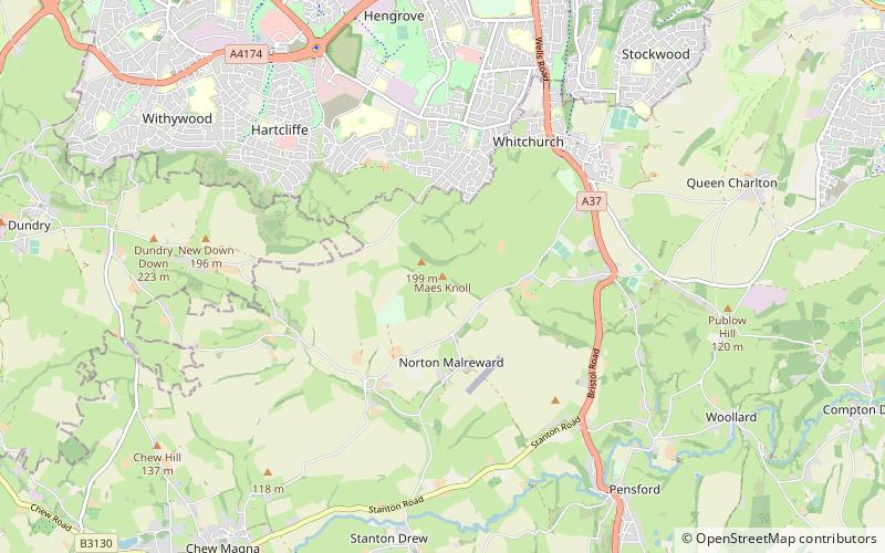
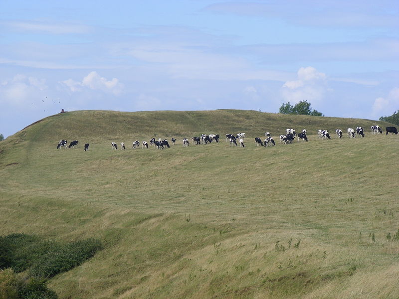
Maes Knoll is an Iron Age hill fort in Somerset, England, located at the eastern end of the Dundry Down ridge, south of the city of Bristol and north of the village of Norton Malreward near the eastern side of Dundry Hill. It is a Scheduled Ancient Monument. ()
Coordinates: 51°23'33"N, 2°34'30"W
Address
Bristol
ContactAdd
Social media
Add
Day trips
Maes Knoll – popular in the area (distance from the attraction)
Nearby attractions include: Stanton Drew stone circles, Church of St Mary the Virgin, Chew Magna Reservoir, Church of All Saints.
Frequently Asked Questions (FAQ)
How to get to Maes Knoll by public transport?
The nearest stations to Maes Knoll:
Bus
Bus
- Longacre Road • Lines: 92 (17 min walk)
- Holbeach Way • Lines: 92 (17 min walk)


