Stockwood, Bristol

Gallery (1)
Map
Map
Facts and practical information
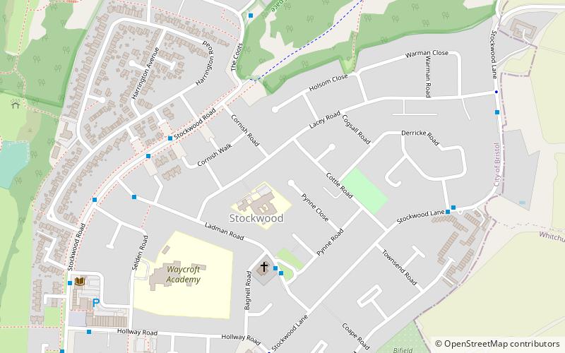
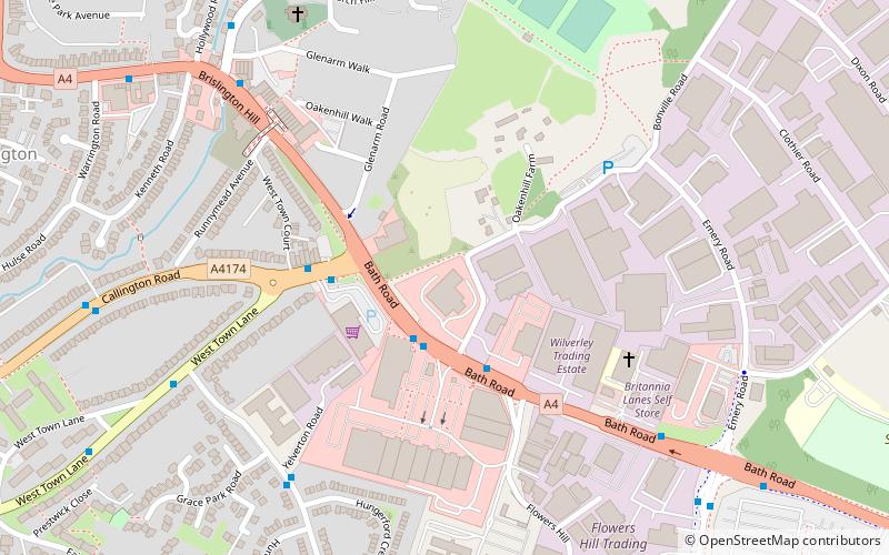
Stockwood is a residential area and council ward in south Bristol, between Whitchurch and Brislington, and west of the Somerset town of Keynsham. ()
Address
StockwoodBristol
ContactAdd
Social media
Add
Getting there by public transportation
Public transportation stops near this location
- Bus
 Bus
Bus
- Calculate routeTimberscombe Walk 24 min walk
- Calculate routeGilda Square West 24 min walk
- Calculate routeEastcote Park 26 min walk
- Calculate routeFortfield Road 29 min walk
Day trips


Frequently Asked Questions (FAQ)
How to get to Stockwood by public transport?
The nearest stations to Stockwood:
Bus
Bus
- Timberscombe Walk • Lines: 92 (24 min walk)
- Gilda Square West • Lines: 92 (24 min walk)