Manchester Zoological Gardens, Manchester

Facts and practical information
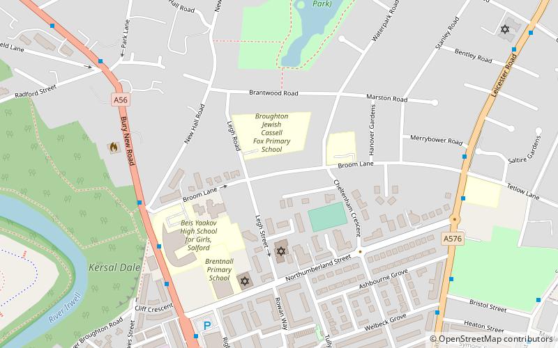
The Manchester Zoological Gardens opened in 1838, on a 15-acre site between Broom Lane and Northumberland Street in Broughton, now in Salford, England. Attractions included a Grand Menagerie, a lake, a maze, an archery ground, and a series of landscaped walks. The gardens were laid out by a company of local business men, on land rented from the Rev. John Clowes of Broughton Hall, who had become interested in botany and horticulture in later life. The gardens competed with John Jennison's Belle Vue Zoological Gardens opened three years earlier, but the venture was commercially unsuccessful and closed in 1842. Some of the animals were acquired by the Belle Vue Zoo, others went to London Zoo and to Hampton Court. ()
Salford (Kersal)Manchester
Manchester Zoological Gardens – popular in the area (distance from the attraction)
Nearby attractions include: Museum of Transport, Kersal Moor, Manchester Jewish Museum, Greek Orthodox Church of the Annunciation.
Frequently Asked Questions (FAQ)
Which popular attractions are close to Manchester Zoological Gardens?
How to get to Manchester Zoological Gardens by public transport?
Bus
- Bury New Road/Northumberland Street • Lines: X43 (6 min walk)
- Moor Lane • Lines: X43 (13 min walk)
Tram
- Crumpsall • Lines: Altr, Bury, Picc (23 min walk)
- Abraham Moss • Lines: Altr, Bury, Picc (24 min walk)
 Metrolink
 Metrolink / Rail


