Milecastle 1, Hadrian's Wall
Map

Map

Facts and practical information
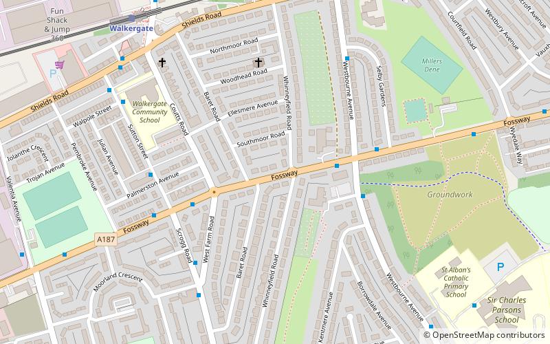
Milecastle 1 was a milecastle of the Roman Hadrian's Wall. It was located near the valley of Stott's Pow. Its remains are covered over, and are located beneath the recreation ground at Miller's Dene. Early excavations and investigations of Turret 0B were mistakenly interpreted as Milecastle 1. The Milecastle sits within the parish of Wallsend. ()
Address
WalkergateHadrian's Wall
ContactAdd
Social media
Add
Day trips
Milecastle 1 – popular in the area (distance from the attraction)
Nearby attractions include: Newcastle Stadium, People's Theatre, St Luke's Church, Wallsend.
Frequently Asked Questions (FAQ)
How to get to Milecastle 1 by public transport?
The nearest stations to Milecastle 1:
Bus
Light rail
Bus
- Westbourne Avenue • Lines: 32 (3 min walk)
- Sutton Street-N/B • Lines: 32 (4 min walk)
Light rail
- Walkergate • Lines: Yellow (7 min walk)
- Chillingham Road • Lines: Yellow (18 min walk)


