Roman Heritage Way, Newcastle upon Tyne
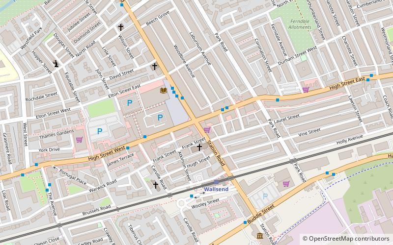
Map
Facts and practical information
The Roman Heritage Way is a long-distance path in England and Scotland. It covers parts of Cumbria, Northumberland, the Scottish Borders, and Tyneside. ()
Coordinates: 54°59'28"N, 1°32'1"W
Address
Newcastle upon Tyne
ContactAdd
Social media
Add
Getting there by public transportation
Public transportation stops near this location
- Bus
- Light rail
 Bus
Bus
- Calculate routeWallsend Town Centre 4 min walk
- Calculate routeHigh Street West 8 min walk
- Calculate routeWallsend 3 min walk
- Calculate routeHadrian Road 18 min walk
- Calculate routeWalkergate 29 min walk
- Calculate routeHebburn 31 min walk
Day trips


Frequently Asked Questions (FAQ)
Which popular attractions are close to Roman Heritage Way?
Nearby attractions include Wallsend, Newcastle upon Tyne (1 min walk), St Luke's Church, Newcastle upon Tyne (2 min walk), Segedunum, Hadrian's Wall (6 min walk), Wallsend Town Hall, Jarrow (8 min walk).
How to get to Roman Heritage Way by public transport?
The nearest stations to Roman Heritage Way:
Bus
Light rail
Bus
- Wallsend Town Centre • Lines: 11 (4 min walk)
- High Street West • Lines: 11 (8 min walk)
Light rail
- Wallsend • Lines: Yellow (3 min walk)
- Hadrian Road • Lines: Yellow (18 min walk)