Milecastle 15, Hadrian's Wall
Map

Map

Facts and practical information
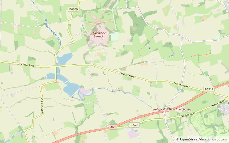
Milecastle 15 was a milecastle of the Roman Hadrian's Wall. Its remains exist as a bold platform with robbed walls located on the southern side of the B6318 Military Road approximately 3 kilometres west of its crossing of the A69 road. It has not been excavated. ()
Coordinates: 55°0'25"N, 1°51'53"W
Address
Hadrian's Wall
ContactAdd
Social media
Add
Day trips
Milecastle 15 – popular in the area (distance from the attraction)
Nearby attractions include: Matfen Hall, George Stephenson's Birthplace, Ovingham Bridge, Hagg Bank Bridge.
Frequently Asked Questions (FAQ)
Which popular attractions are close to Milecastle 15?
Nearby attractions include Milecastle 16, Hadrian's Wall (24 min walk), Milecastle 14, Hadrian's Wall (24 min walk).


