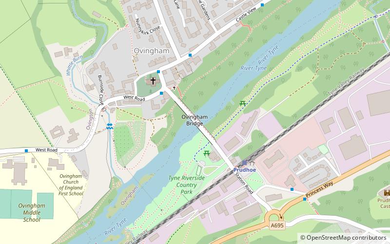
Ovingham Bridge

Gallery (1)
Map
Map
Facts and practical information
Ovingham Bridges are a pair of side-by-side vehicle and pedestrian bridges across the River Tyne linking Ovingham and Prudhoe in Northumberland, England. Following a lengthy refurbishment programme by Northumberland County Council, Ovingham Bridge re-opened to vehicles on 5 September 2016. ()
Opened: 20 December 1883 (142 years ago)Length: 492 ftCoordinates: 54°58'1"N, 1°52'1"W
Day trips


