Wylam Bridge, Wylam
Map

Map

Facts and practical information
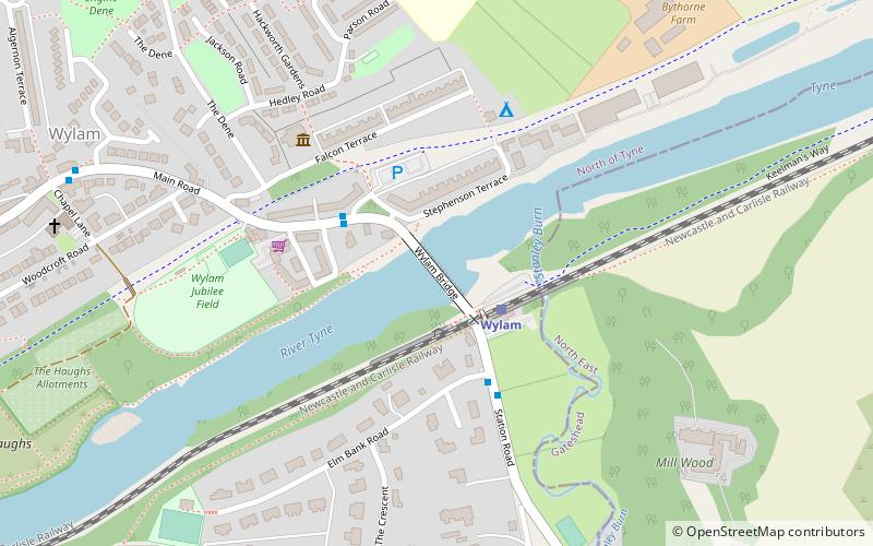
Wylam Bridge is a road bridge in Northumberland, England linking the residential area of North Wylam and neighbouring villages of Heddon-on-the-Wall, and Horsley with the railway station in South Wylam as well as west Gateshead, including the villages of Ryton and Crawcrook. ()
Length: 360 ftWidth: 24 ftCoordinates: 54°58'31"N, 1°48'55"W
Day trips
Wylam Bridge – popular in the area (distance from the attraction)
Nearby attractions include: George Stephenson's Birthplace, Ovingham Bridge, Hagg Bank Bridge, Holy Cross Church.
Frequently Asked Questions (FAQ)
Which popular attractions are close to Wylam Bridge?
Nearby attractions include George Stephenson's Birthplace, Wylam (13 min walk), Hagg Bank Bridge, Wylam (14 min walk).


