Milefortlet 2, Hadrian's Wall
Map

Map

Facts and practical information
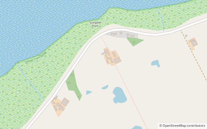
Milefortlet 2 was a Milefortlet of the Roman Cumbrian Coast defences. These milefortlets and intervening stone watchtowers extended from the western end of Hadrian's Wall, along the Cumbrian coast and were linked by a wooden palisade. They were contemporary with defensive structures on Hadrian's Wall. The exact location of Milefortlet 2 is unknown, although one of the nearby turrets has been located and excavated. ()
Coordinates: 54°56'28"N, 3°15'15"W
Address
Hadrian's Wall
ContactAdd
Social media
Add
Day trips
Milefortlet 2 – popular in the area (distance from the attraction)
Nearby attractions include: Galabank, St Michael's Church, Devil's Porridge Exhibition, Milecastle 78.
Frequently Asked Questions (FAQ)
Which popular attractions are close to Milefortlet 2?
Nearby attractions include Milefortlet 1, Hadrian's Wall (19 min walk), Milefortlet 3, Hadrian's Wall (24 min walk).


