Milefortlet 9, Hadrian's Wall

Gallery (1)
Map
Map
Facts and practical information
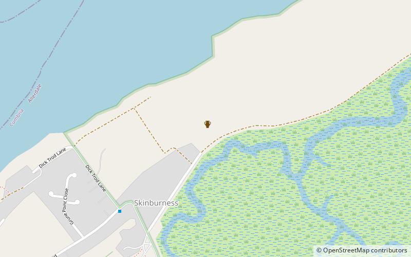
Milefortlet 9 was a Milefortlet of the Roman Cumbrian Coast defences. These milefortlets and intervening stone watchtowers extended from the western end of Hadrian's Wall, along the Cumbrian coast and were linked by a wooden palisade. They were contemporary with defensive structures on Hadrian's Wall. There is little to see on the ground but Milefortlet 9 has been located on aerial photographs. ()
Coordinates: 54°53'32"N, 3°21'32"W
Address
Hadrian's Wall
ContactAdd
Social media
Add
Day trips