Milefortlet 10, Hadrian's Wall
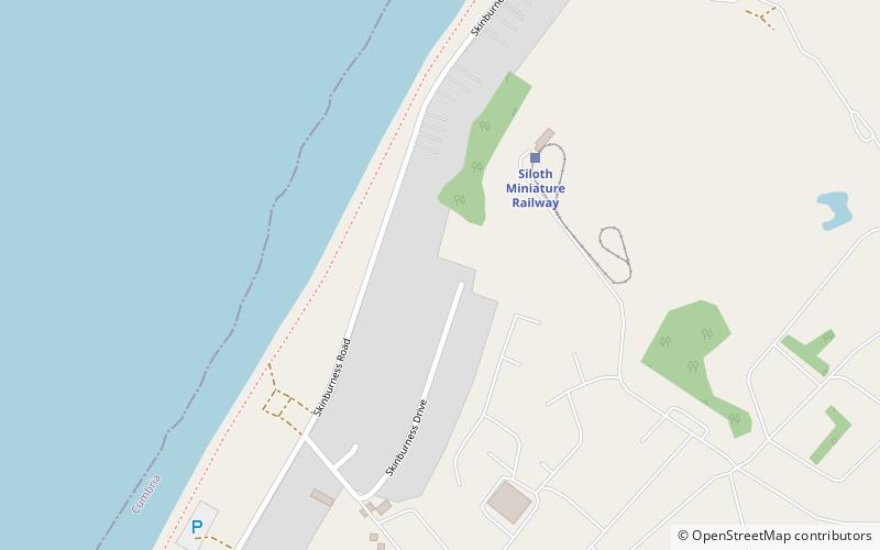
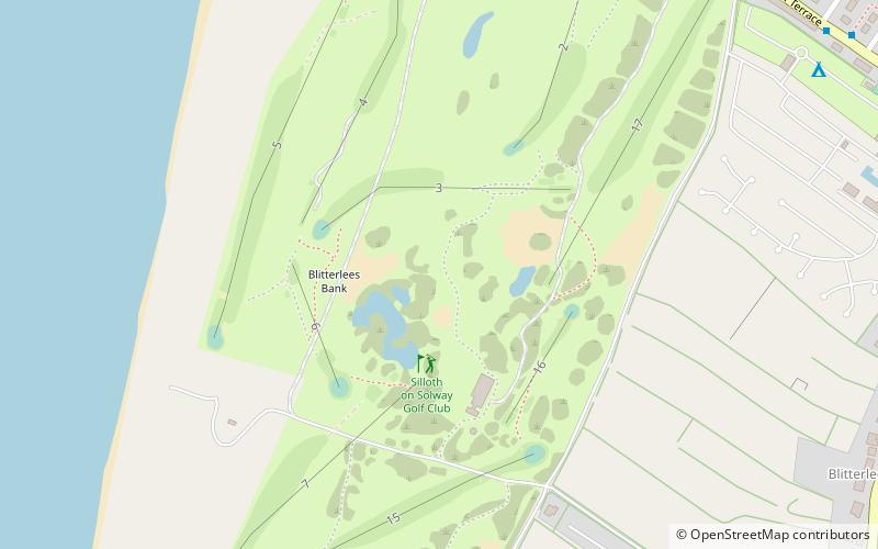
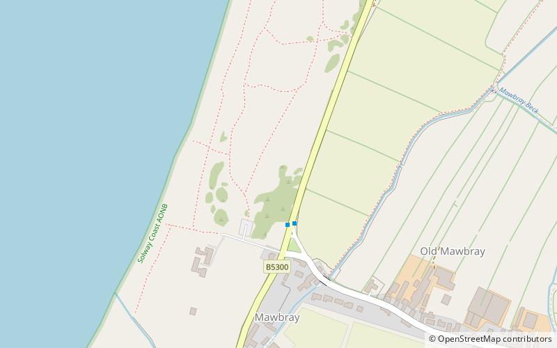
Map

Map

Facts and practical information
Milefortlet 10 is conjectured to have been a Milefortlet of the Roman Cumbrian Coast defences, however no physical evidence exists to positively prove its existence. The site was identified based on measurement from other Hadrianic defensive structures on the Cumbria coast. These defences were contemporary with defensive structures on Hadrian's Wall. ()
Coordinates: 54°52'47"N, 3°22'44"W
Address
Hadrian's Wall
ContactAdd
Social media
Add
Day trips
Milefortlet 10 – popular in the area (distance from the attraction)
Nearby attractions include: Grade I listed churches in Cumbria, Milefortlet 14, Milefortlet 11, Milefortlet 2.


