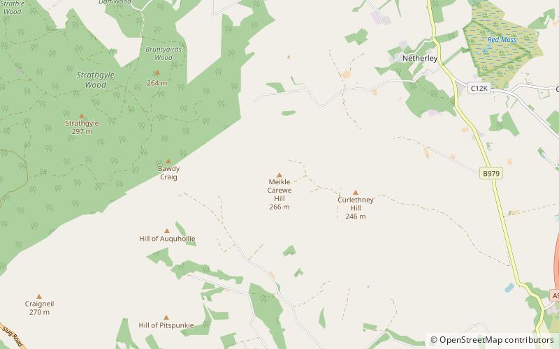
Meikle Carewe Hill
Map

Map

Facts and practical information
Meikle Carewe Hill is a landform in Aberdeenshire, Scotland within the Mounth Range of the Grampian Mountains. The peak elevation of this mountain is 266 metres above mean sea level. Meikle Carewe is a prominent landform visible from a number of coastal hills such as Kempstone Hill and Megray Hill; it also forms a major backdrop to the community of Netherley. ()
Coordinates: 57°1'9"N, 2°17'8"W
Location
Scotland
ContactAdd
Social media
Add
Day trips
Meikle Carewe Hill – popular in the area (distance from the attraction)
Nearby attractions include: Stonehaven Open Air Pool, Doonie Point, Cowie Chapel, Cairn Mon Earn.


