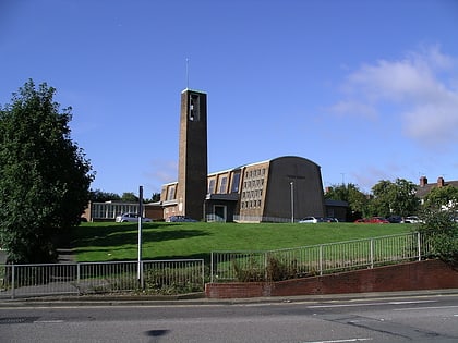
St Luke's Church, Coventry
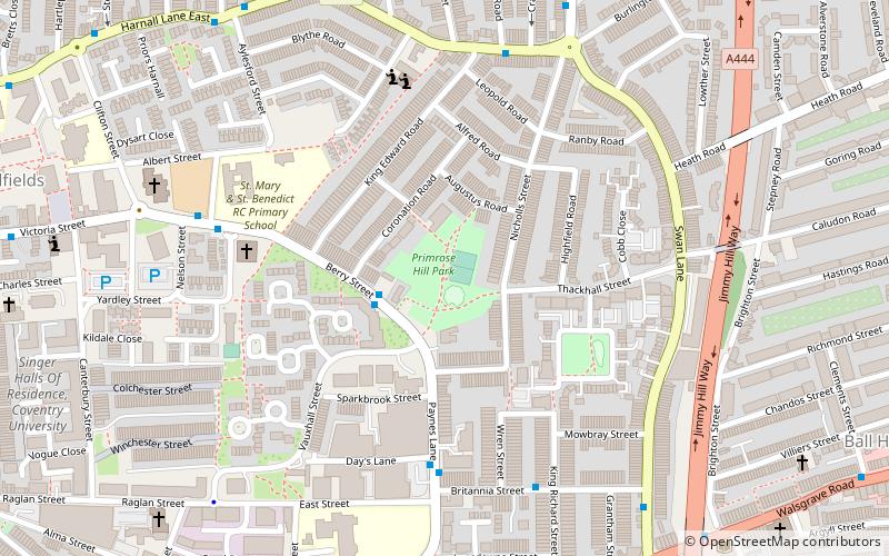
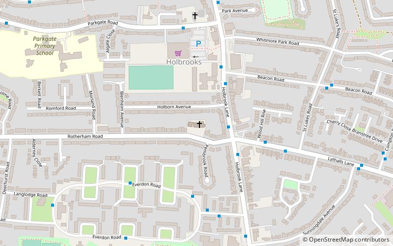
Map
Map

Facts and practical information
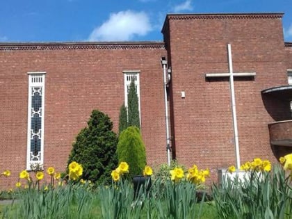
St Luke's Church is a parish church of the Church of England located in Holbrooks, Coventry, West Midlands, England. ()
Coordinates: 52°26'35"N, 1°30'39"W
Address
Rotherham RdNorth East Coventry (Holbrook)Coventry CV6 4FE
Contact
+44 24 7668 8604
Social media
Add
Day trips
St Luke's Church – popular in the area (distance from the attraction)
Nearby attractions include: Coventry Building Society Arena, Arena Park Shopping Centre, SkyDome Arena, Coventry Transport Museum.
Frequently Asked Questions (FAQ)
How to get to St Luke's Church by public transport?
The nearest stations to St Luke's Church:
Bus
Train
Bus
- Holbrook Lane / Lythalls Lane • Lines: 3, 5 (2 min walk)
- Holbrook Lane / Beacon Rd • Lines: 3 (3 min walk)
Train
- Coventry Arena (19 min walk)
