Altnagelvin, Derry
Map

Map

Facts and practical information
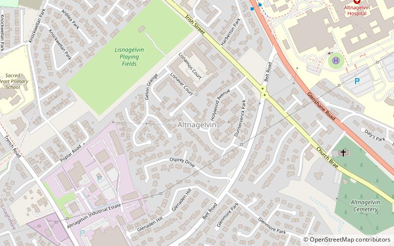
Altnagelvin is a townland in County Londonderry, Northern Ireland. It is also the name of an electoral ward in Derry and Strabane district. Formerly a small village, it has been absorbed into the Waterside neighbourhood of Derry. Within Altnagelvin is Altnagelvin Area Hospital, a large hospital which serves the most of the county. ()
Coordinates: 54°58'60"N, 7°17'55"W
Address
Derry
ContactAdd
Social media
Add
Day trips
Altnagelvin – popular in the area (distance from the attraction)
Nearby attractions include: Free Derry Corner, Richmond Centre, St Columb's Cathedral, Hands Across the Divide.
Frequently Asked Questions (FAQ)
Which popular attractions are close to Altnagelvin?
Nearby attractions include Workhouse Museum, Derry (24 min walk), Craigavon Bridge, Derry (24 min walk).
How to get to Altnagelvin by public transport?
The nearest stations to Altnagelvin:
Train
Bus
Train
- Londonderry (23 min walk)
Bus
- Foyle Bus Station (31 min walk)


