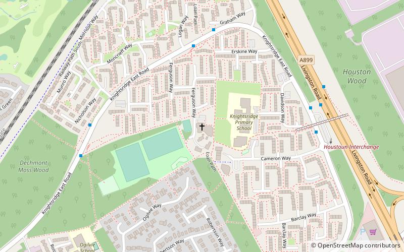
Knightsridge, Livingston
Map
Facts and practical information
Knightsridge is an area of Livingston in West Lothian, Scotland. Knightsridge lies to the north of the town. ()
Coordinates: 55°54'30"N, 3°31'26"W
Getting there by public transportation
Public transportation stops near this location
- Train
 Train
Train
- Calculate routeLivingston North 23 min walk
- Calculate routeUphall 29 min walk
Day trips


Frequently Asked Questions (FAQ)
How to get to Knightsridge by public transport?
The nearest stations to Knightsridge:
Train
Train
- Livingston North (23 min walk)
- Uphall (29 min walk)