Falls of Edinample, Killin
#4 among attractions in Killin

Facts and practical information
The falls of Edinample is a waterfall near the village of Craggan in the district of Stirling in Scotland. ()
Killin United Kingdom
Killin plan & book
Unleash the traveler in you — discover the cheapest flight deals, find the perfect hotel or hostel nearby, and search for the best car rental prices. Travel at your own pace to discover new places and enjoy your journey.
Falls of Edinample – popular in the area (distance from the attraction)
Nearby attractions include: Ben Vorlich, Edinample Castle, Stùc a' Chroin, Glen Ogle.
 Nature, Natural attraction, Mountain
Ben Vorlich, Loch Lomond and The Trossachs National Park
70 min walk • Ben Vorlich is a mountain located in the southern part of the Highlands of Scotland. Due to its prominence when seen from the lower ground of the Central Belt, Ben Vorlich is one of the most commonly seen of Munros, Scotland's peaks of 3000ft height or above.
 Forts and castles, Vernacular architecture, Reportedly haunted
Edinample Castle, Loch Lomond and The Trossachs National Park
5 min walk • Edinample Castle is a late 16th-century tower house on the southern shores of Loch Earn near Balquhidder in the Stirling council area of Scotland. It was designated as a Category A listed building in 1971.
 Nature, Natural attraction, Mountain
Stùc a' Chroin, Loch Lomond and The Trossachs National Park
82 min walk • Stùc a' Chroin is a mountain located in the southern part of the Highlands in Scotland. It lies to the south of Ben Vorlich, which is itself bounded to the north by Loch Earn, and to the west by Loch Lubnaig.
 Nature, Natural attraction, Valley
Glen Ogle, Loch Lomond and The Trossachs National Park
78 min walk • Glen Ogle extends 7 miles north westwards from Lochearnhead to Lix Toll, where it opens into Glen Dochart. The Ogle Burn flows within the steep sides of the glen, from the Lochan Lairig Cheile at the glen's head.
 Mountain
Beinn Each, Loch Lomond and The Trossachs National Park
105 min walk • Beinn Each is a mountain in the southern Grampian Mountains of Scotland. It is located in Stirlingshire, north of the town of Callander.
 Mountain
Meall an t-Seallaidh, Balquhidder
96 min walk • Meall an t-Seallaidh is a mountain in the Southern Highlands of Scotland. It is located in the Loch Lomond and The Trossachs National Park, west of Loch Earn. The mountain rises steeply from the village of Balquhidder.
 Nature, Natural attraction, Lake
Loch Earn, Loch Lomond and The Trossachs National Park
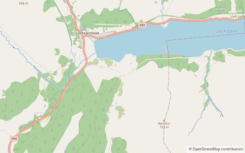
66 min walk • Loch Earn is a freshwater loch in the southern highlands of Scotland, in the districts of Perth and Kinross and Stirling. The name is thought to mean "Loch of Ireland", and it has been suggested that this might derive from the time when the Gaels were expanding their kingdom of Dál Riata eastwards into Pictland.
 56°21'18"N • 4°22'21"W
Stronvar by Loch Voil, Loch Lomond and The Trossachs National Park
110 min walk • Bridge
 Neighbourhood
Breadalbane, Loch Lomond and The Trossachs National Park
60 min walk • Breadalbane – from Scottish Gaelic Bràghad Albainn, "the upper part of Alba" – is a region of the southern/central Scottish Highlands, traditionally comprising the watershed of Loch Tay. The Breadalbane Hydro-Electric Scheme lies within the region.


