Loch Earn, Loch Lomond and The Trossachs National Park
#32 among attractions in Loch Lomond and The Trossachs National Park
Facts and practical information
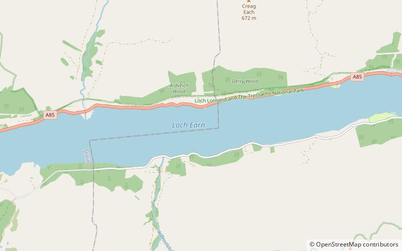
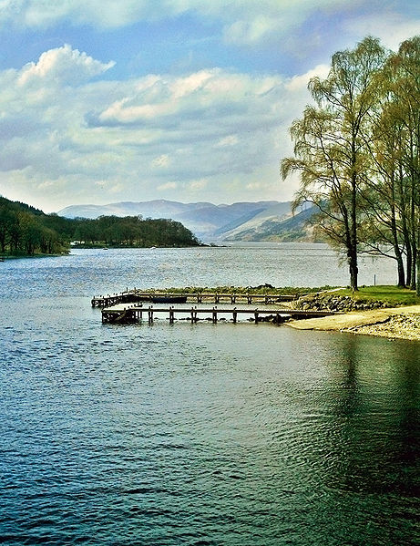
Loch Earn is a freshwater loch in the southern highlands of Scotland, in the districts of Perth and Kinross and Stirling. ()
Loch Lomond and The Trossachs National Park United Kingdom
Loch Earn – popular in the area (distance from the attraction)
Nearby attractions include: Falls of Dochart, Ben Vorlich, Edinample Castle, Stùc a' Chroin.
 Nature, Natural attraction, View point
Falls of Dochart, Killin
175 min walk • Nestled in the heart of the picturesque Scottish village of Killin, the Falls of Dochart are a breathtaking natural spectacle and a must-visit for any traveler exploring the United Kingdom. These impressive waterfalls cascade through the village, offering a dramatic...
 Nature, Natural attraction, Mountain
Ben Vorlich, Loch Lomond and The Trossachs National Park
81 min walk • Ben Vorlich is a mountain located in the southern part of the Highlands of Scotland. Due to its prominence when seen from the lower ground of the Central Belt, Ben Vorlich is one of the most commonly seen of Munros, Scotland's peaks of 3000ft height or above.
 Forts and castles, Vernacular architecture, Reportedly haunted
Edinample Castle, Loch Lomond and The Trossachs National Park
66 min walk • Edinample Castle is a late 16th-century tower house on the southern shores of Loch Earn near Balquhidder in the Stirling council area of Scotland. It was designated as a Category A listed building in 1971.
 Nature, Natural attraction, Mountain
Stùc a' Chroin, Loch Lomond and The Trossachs National Park
108 min walk • Stùc a' Chroin is a mountain located in the southern part of the Highlands in Scotland. It lies to the south of Ben Vorlich, which is itself bounded to the north by Loch Earn, and to the west by Loch Lubnaig.
 Nature, Natural attraction, Valley
Glen Ogle, Loch Lomond and The Trossachs National Park
114 min walk • Glen Ogle extends 7 miles north westwards from Lochearnhead to Lix Toll, where it opens into Glen Dochart. The Ogle Burn flows within the steep sides of the glen, from the Lochan Lairig Cheile at the glen's head.
 Mountain
Beinn Each, Loch Lomond and The Trossachs National Park
142 min walk • Beinn Each is a mountain in the southern Grampian Mountains of Scotland. It is located in Stirlingshire, north of the town of Callander.
 Nature, Natural attraction, Waterfall
Falls of Edinample, Killin
66 min walk • The falls of Edinample is a waterfall near the village of Craggan in the district of Stirling in Scotland.
 Archaeological site
Killin Stone Circle, Killin
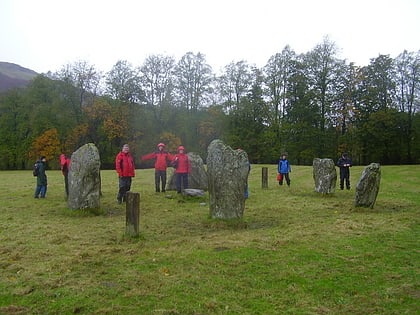
174 min walk • Killin Stone Circle is a prehistoric stone circle situated at the west end of Loch Tay near the village of Killin, Stirling, Scotland. It is a scheduled monument.
 Island
Inchbuie, Killin
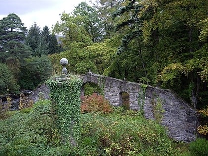
175 min walk • Inchbuie is an island of the River Dochart, near Killin. A bridge links it with both riverbanks, just below the Falls of Dochart. The MacNab Clan were once dominant here, and have long been associated with Killin. Their ancient burial ground is visible from the bridge.
 Archaeological site
Dundurn, Loch Lomond and The Trossachs National Park
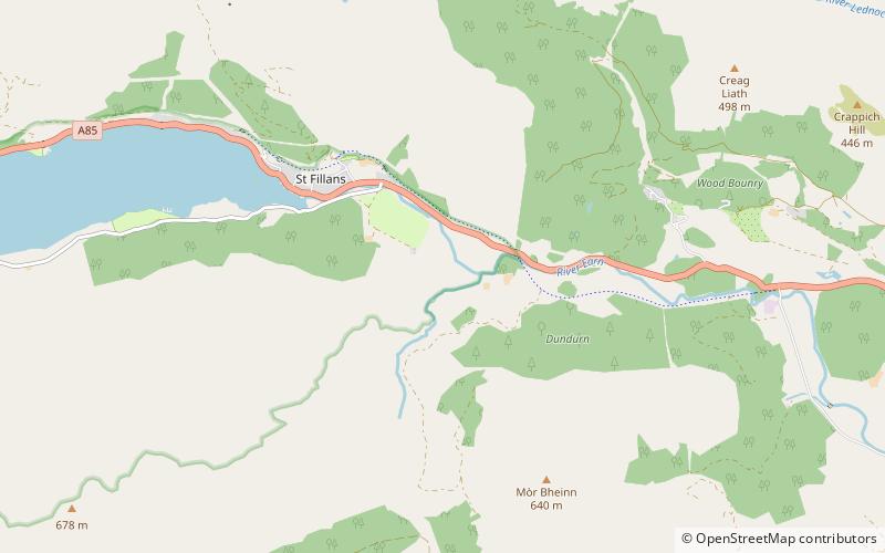
106 min walk • Dundurn is the site of a Pictish hillfort in what is now Strathearn in Perth and Kinross, Scotland. The fort was situated on a hill with the River Earn to one side and the Allt Ghoinean burn to another. Excavations have identified three stages of fortification between 500 and 800 AD.
 Neighbourhood
Breadalbane, Loch Lomond and The Trossachs National Park
109 min walk • Breadalbane – from Scottish Gaelic Bràghad Albainn, "the upper part of Alba" – is a region of the southern/central Scottish Highlands, traditionally comprising the watershed of Loch Tay. The Breadalbane Hydro-Electric Scheme lies within the region.
