Victoria Park, Bristol
Map

Map

Facts and practical information
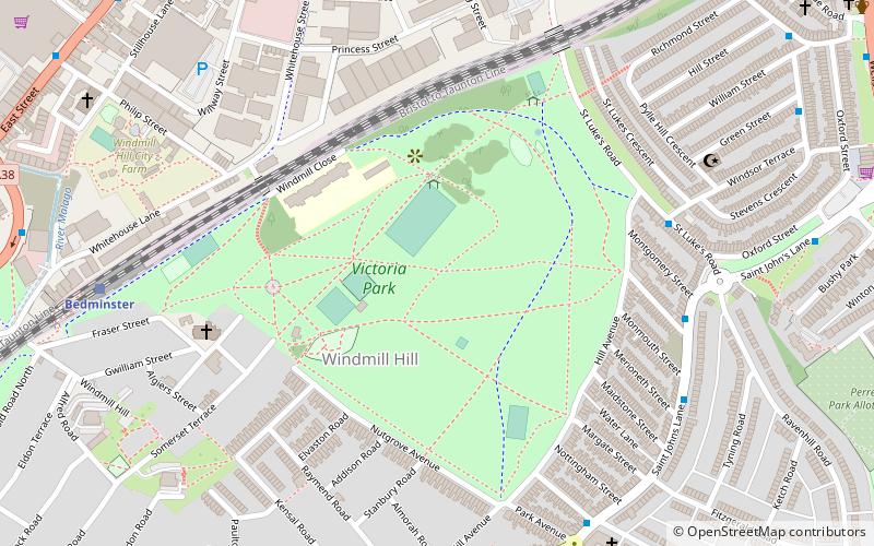
Victoria Park is a park and open space near Bedminster, Bristol, on Windmill hill. It lies to the east of Bedminster railway station and south of the Bristol to Exeter line. ()
Elevation: 102 ft a.s.l.Coordinates: 51°26'27"N, 2°35'13"W
Day trips
Victoria Park – popular in the area (distance from the attraction)
Nearby attractions include: M Shed, Arnolfini, Redcliffe Caves, St Mary Redcliffe.
Frequently Asked Questions (FAQ)
Which popular attractions are close to Victoria Park?
Nearby attractions include Windmill Hill, Bristol (2 min walk), Bristol Jamia Mosque, Bristol (7 min walk), Windmill Hill City Farm, Bristol (7 min walk), Totterdown Methodist Church, Bristol (13 min walk).
How to get to Victoria Park by public transport?
The nearest stations to Victoria Park:
Train
Bus
Ferry
Train
- Bedminster (8 min walk)
- Bristol Temple Meads (17 min walk)
Bus
- Bellevue Road • Lines: 92 (11 min walk)
- Bellveue Road • Lines: 92 (11 min walk)
Ferry
- Prince Street Bridge • Lines: Hotwells-Centre (18 min walk)
- Millennium Square • Lines: Hotwells-Centre (19 min walk)


