Brislington, Bristol
Map
Facts and practical information
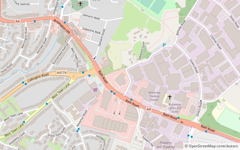
Brislington is an area in the south east of the city of Bristol, England. It is on the edge of Bristol and 10 miles from Bath. Brislington Brook runs through the area in the woodlands of Nightingale Valley and the pretentious of West Brislington. West Brislington formerly housed the HTV West Studios on Bath Road, and this is situated next to the historic Arnos Vale Cemetery which is undergoing restoration after a lengthy public and newspaper campaign. ()
Coordinates: 51°25'54"N, 2°32'38"W
Address
Brislington EastBristol
ContactAdd
Social media
Add
Getting there by public transportation
Public transportation stops near this location
- Bus
 Bus
Bus
- Calculate routeBroad Walk Shops 27 min walk
- Calculate routeGreenmore Road 27 min walk
- Calculate routeBeaconsfield Road 31 min walk
- Calculate routeCadogan Road 32 min walk
Day trips


Frequently Asked Questions (FAQ)
Which popular attractions are close to Brislington?
Nearby attractions include St Luke's Church, Bristol (6 min walk), Brislington West, Bristol (10 min walk).
How to get to Brislington by public transport?
The nearest stations to Brislington:
Bus
Bus
- Broad Walk Shops • Lines: 92 (27 min walk)
- Greenmore Road • Lines: 92 (27 min walk)