Ironmould Lane, Bristol
Map

Map

Facts and practical information
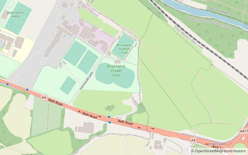
Ironmould Lane is a cricket ground in Bristol. The first recorded match on the ground was in 1894, when Brislington played Peasedown St John. In 1969 the ground held its first List-A match when Somerset played Surrey in the Player's County League. The following season the ground held its final List-A match when Somerset played Derbyshire in the John Player League. ()
Coordinates: 51°25'42"N, 2°31'29"W
Address
Brislington EastBristol
ContactAdd
Social media
Add
Day trips
Ironmould Lane – popular in the area (distance from the attraction)
Nearby attractions include: Keynsham Abbey, St Luke's Church, Brislington, Church of St John the Baptist.
Frequently Asked Questions (FAQ)
Which popular attractions are close to Ironmould Lane?
Nearby attractions include Hanham Lock, Bristol (16 min walk), Brislington, Bristol (22 min walk).


