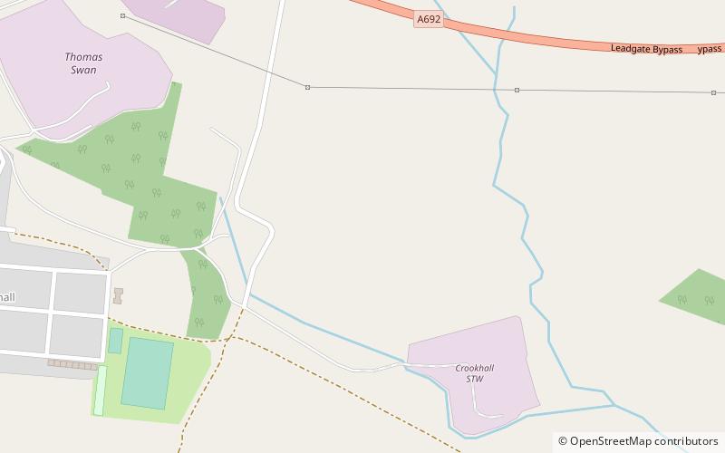
Crook Hall, Durham
Map
Facts and practical information
Crook Hall, sited near Lanchester, County Durham, some 8 miles north west of the city of Durham, was one of two Roman Catholic seminaries which temporarily replaced the Douai seminary in Douai, France when that college was suppressed soon after the French Revolution. Crook Hall was itself superseded after a few years by Ushaw College. ()
Coordinates: 54°51'4"N, 1°48'35"W
Address
Durham
ContactAdd
Social media
Add
Getting there by public transportation
Public transportation stops near this location
- Bus
 Bus
Bus
- Calculate routeFront Street 24 min walk
Day trips


Frequently Asked Questions (FAQ)
How to get to Crook Hall by public transport?
The nearest stations to Crook Hall:
Bus
Bus
- Front Street • Lines: X30 (24 min walk)