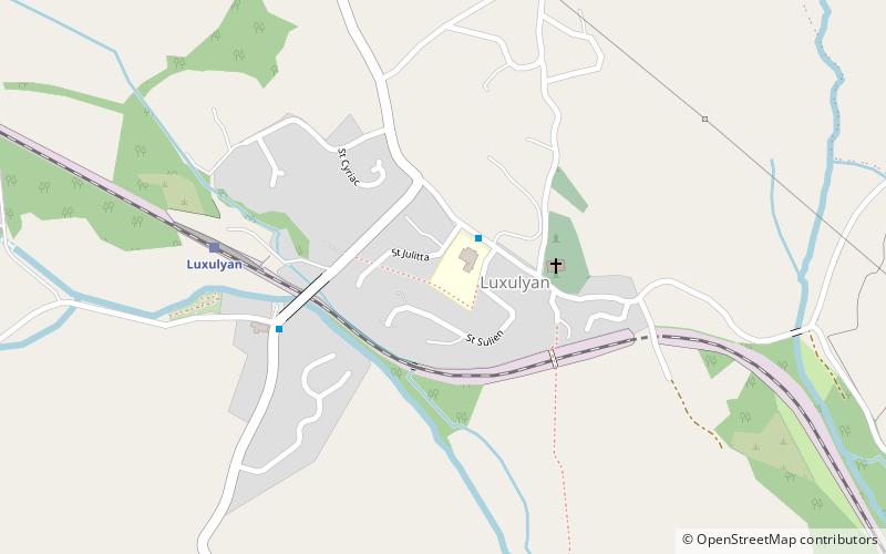
Luxulyan Valley, Par

Gallery (3)
Map

Map
Gallery
Facts and practical information
The Luxulyan Valley is the steep sided and thickly wooded valley of the River Par, situated in mid Cornwall, England, UK. It contains a major concentration of early 19th century industrial remains, and was designated as part of a World Heritage Site in 2006. ()
Coordinates: 50°23'24"N, 4°44'38"W
Address
Par
ContactAdd
Social media
Add
Getting there by public transportation
Public transportation stops near this location
- Train
 Train
Train
- Calculate routeLuxulyan 5 min walk
Day trips


Frequently Asked Questions (FAQ)
How to get to Luxulyan Valley by public transport?
The nearest stations to Luxulyan Valley:
Train
Train
- Luxulyan (5 min walk)