Par Docks, Par

Map
Facts and practical information
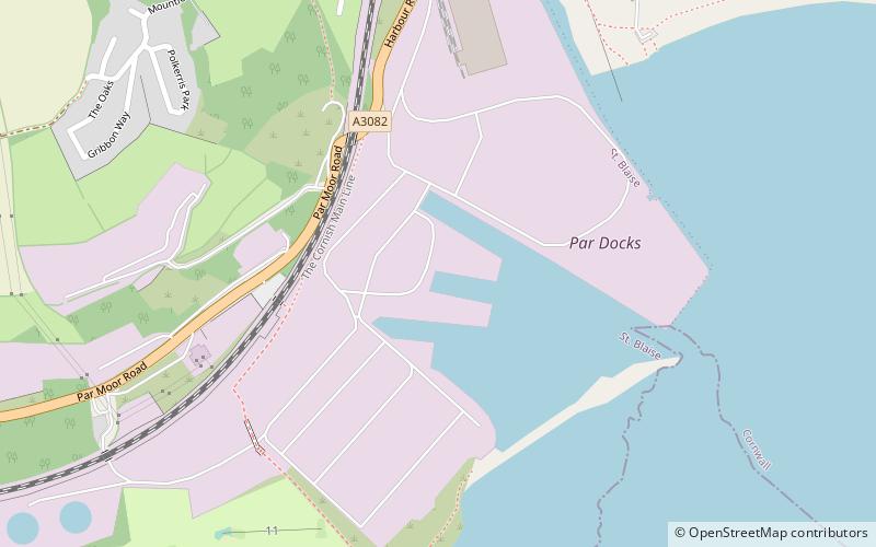
Par Docks is an Imerys-owned harbour in the village of Par, Cornwall, United Kingdom, which was used for the export of china clay from the numerous Imerys sites in the clay-rich region of Mid-Cornwall. ()
Coordinates: 50°20'40"N, 4°42'20"W
Address
Par
ContactAdd
Social media
Add
Day trips
Par Docks – popular in the area (distance from the attraction)
Nearby attractions include: Eden Project, St Catherine's Castle, Tregaminion Church, Charlestown Shipwreck & Heritage Centre.
Frequently Asked Questions (FAQ)
How to get to Par Docks by public transport?
The nearest stations to Par Docks:
Train
Train
- Par (20 min walk)


