Black Edge, Peak District
Map

Map

Facts and practical information
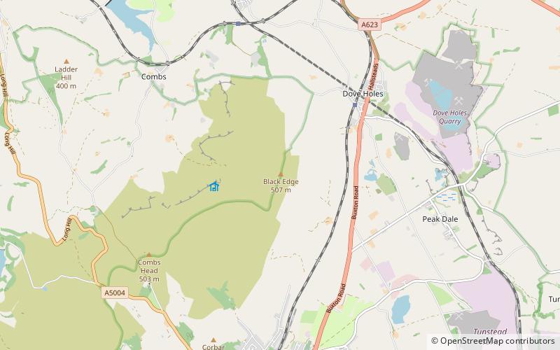
Black Edge is a summit, 507 metres high, on a sharp ridgeline above the village of Dove Holes in the Dark Peak area of the Peak District in the county of Derbyshire in England. ()
Elevation: 1663 ftProminence: 325 ftCoordinates: 53°17'23"N, 1°54'29"W
Address
Peak District
ContactAdd
Social media
Add
Day trips
Black Edge – popular in the area (distance from the attraction)
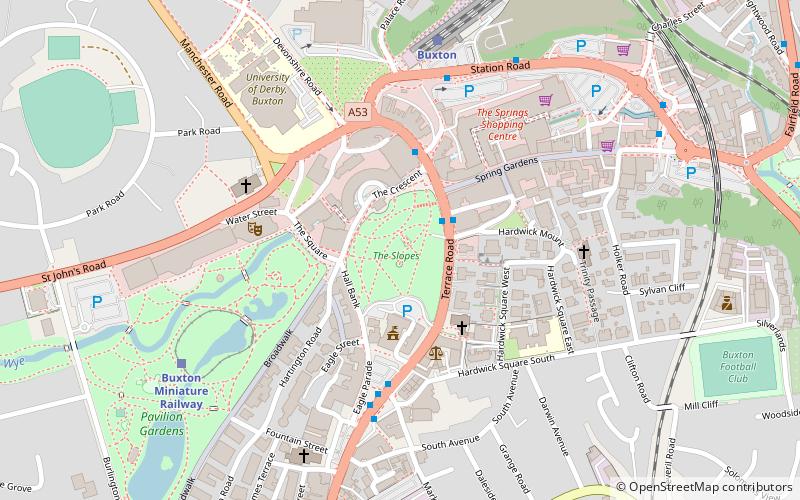
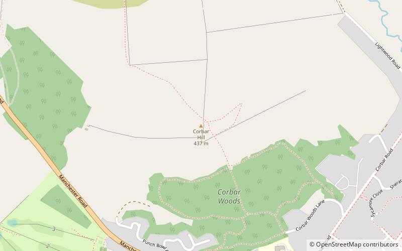
Nearby attractions include: Buxton Opera House, Poole's Cavern, The Slopes, Corbar Hill.
Frequently Asked Questions (FAQ)
How to get to Black Edge by public transport?
The nearest stations to Black Edge:
Bus
Train
Bus
- Dove Holes, Buxton Road / adjacent Lower Bibbington • Lines: 199 (22 min walk)
- Fairfield, adjacent Tomthorn • Lines: 199 (26 min walk)
Train
- Dove Holes (27 min walk)


