Mynydd Tal-y-Mignedd, Snowdonia National Park

Gallery (2)
Map
Map
Gallery
Facts and practical information
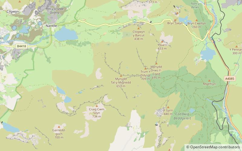
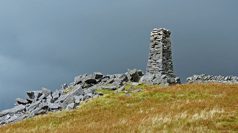
Mynydd Tal-y-Mignedd is a peak on the Nantlle Ridge in Snowdonia, north Wales. It is located at the center of the ridge, and is a subsidiary summit of Trum y Ddysgl. ()
Elevation: 2142 ftProminence: 167 ftCoordinates: 53°2'23"N, 4°11'10"W
Address
Snowdonia National Park
ContactAdd
Social media
Add
Day trips


Frequently Asked Questions (FAQ)
Which popular attractions are close to Mynydd Tal-y-Mignedd?
Nearby attractions include Trum y Ddysgl, Snowdonia National Park (16 min walk), Mynydd Drws-y-Coed, Snowdonia National Park (24 min walk).