Moreton Hall Community Woods, Bury St Edmunds

Gallery (1)
Map
Map
Facts and practical information
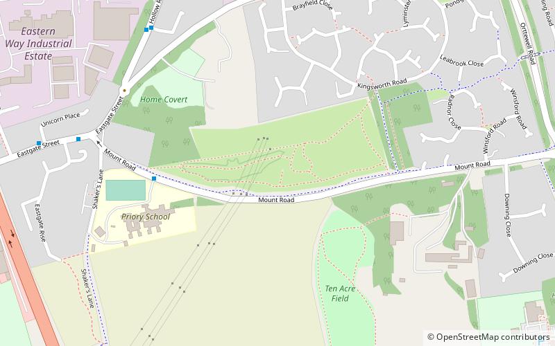
Moreton Hall Community Woods is an 18.5 hectare local nature reserve in Bury St Edmunds in Suffolk. it is owned by West Suffolk Council and managed by Woodland Ways. ()
Elevation: 203 ft a.s.l.Coordinates: 52°14'53"N, 0°43'59"E
Address
Bury St Edmunds
ContactAdd
Social media
Add
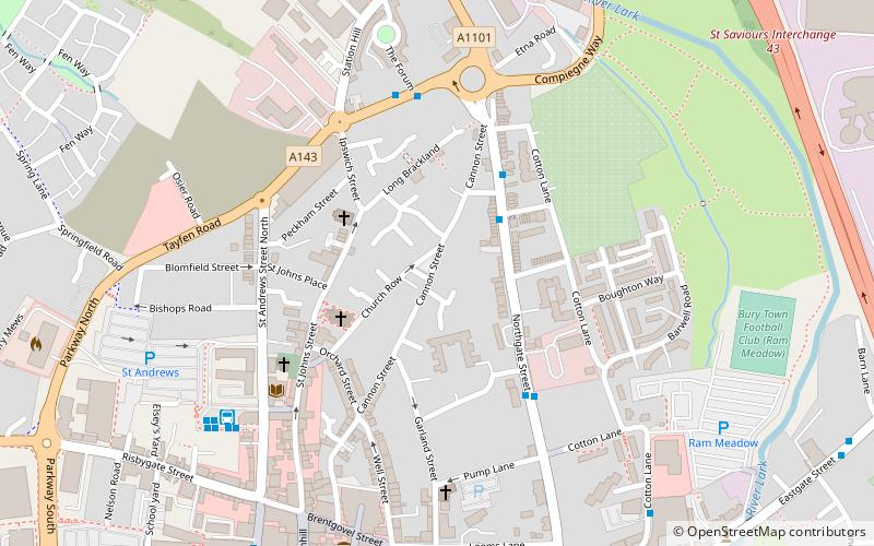
Getting there by public transportation
Public transportation stops near this location
- Bus
- Train
 Bus
Bus
- Calculate route24 Seven Industrial Estate 7 min walk
- Calculate routeMount Place 8 min walk
- Calculate routeRaedwald Drive 8 min walk
- Calculate routeKingsworth Road 9 min walk
- Calculate routeBury St Edmunds 25 min walk
Day trips


Frequently Asked Questions (FAQ)
Which popular attractions are close to Moreton Hall Community Woods?
Nearby attractions include Moreton Hall, Bury St Edmunds (5 min walk), Abbey Gardens, Bury St Edmunds (17 min walk), St Edmundsbury Cathedral, Bury St Edmunds (19 min walk), St Mary's Church, Bury St Edmunds (20 min walk).
How to get to Moreton Hall Community Woods by public transport?
The nearest stations to Moreton Hall Community Woods:
Bus
Train
Bus
- 24 Seven Industrial Estate • Lines: M33 (7 min walk)
- Mount Place • Lines: M33 (8 min walk)
Train
- Bury St Edmunds (25 min walk)