Moreton Hall, Bury St Edmunds
Map

Map

Facts and practical information
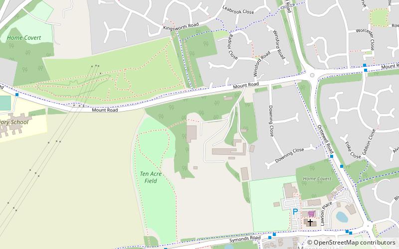
Moreton Hall is a Grade II* listed building in Bury St Edmunds, a market town in the county of Suffolk, England. It was designed by the Scottish architect Robert Adam and built in 1773 as a country house for John Symonds, a clergyman and Professor of Modern History at Cambridge University. The building was originally known as "St. Edmund's Hill". It was later called "The Mount" and from 1890 "Moreton Hall". ()
Coordinates: 52°14'50"N, 0°44'13"E
Day trips
Moreton Hall – popular in the area (distance from the attraction)
Nearby attractions include: St Edmundsbury Cathedral, Abbey Gardens, The Nutshell, St Mary's Church.
Frequently Asked Questions (FAQ)
Which popular attractions are close to Moreton Hall?
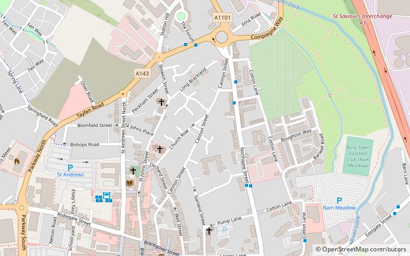
Nearby attractions include Moreton Hall Community Woods, Bury St Edmunds (5 min walk), Abbey Gardens, Bury St Edmunds (20 min walk), St Edmundsbury Cathedral, Bury St Edmunds (23 min walk), St Mary's Church, Bury St Edmunds (23 min walk).
How to get to Moreton Hall by public transport?
The nearest stations to Moreton Hall:
Bus
Train
Bus
- Raedwald Drive • Lines: M33 (7 min walk)
- Community Centre • Lines: M33 (7 min walk)
Train
- Bury St Edmunds (29 min walk)


