Hove Town Hall, Brighton
Map

Map

Facts and practical information
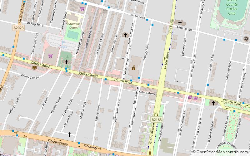
Hove Town Hall is the headquarters of Brighton and Hove City Council. The current building was constructed in 1970 in the Brutalist style by John Wells-Thorpe, to replace the original 1882 Hall which was damaged by fire in 1966. ()
Coordinates: 50°49'40"N, 0°10'16"W
Day trips
Hove Town Hall – popular in the area (distance from the attraction)
Nearby attractions include: Adelaide Crescent, Palmeira Square, Brighton and Hove Progressive Synagogue, All Saints Church.
Frequently Asked Questions (FAQ)
Which popular attractions are close to Hove Town Hall?
Nearby attractions include Hove War Memorial, Brighton (4 min walk), Church of the Sacred Heart, Brighton (4 min walk), St Andrew's Church, Brighton (5 min walk), Cameron Contemporary, Brighton (5 min walk).
How to get to Hove Town Hall by public transport?
The nearest stations to Hove Town Hall:
Bus
Train
Bus
- Hove Town Hall • Lines: 1, 1A, 2, 21, 21A, 25, 46, 49, 5, 5A, 5B, 6, 60, 71, N1, N5 (1 min walk)
- Second Avenue • Lines: 1, 1A, 2, 21, 21A, 25, 46, 49, 5, 5A, 5B, 6, 60, 700, 71, N1, N5 (5 min walk)
Train
- Hove (13 min walk)
- Aldrington (20 min walk)


