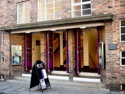
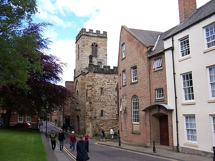
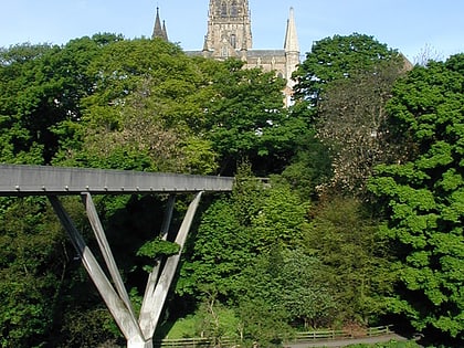
Elvet Bridge, Durham
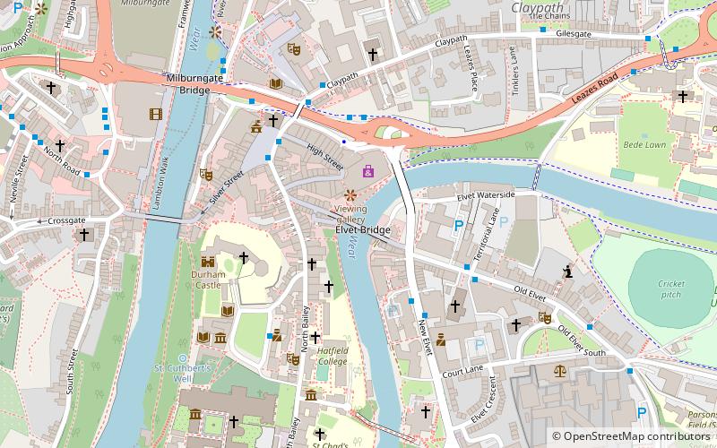
Map
Gallery
Facts and practical information
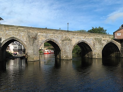
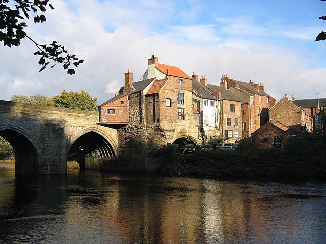
Elvet Bridge is a medieval masonry arch bridge across the River Wear in the city of Durham, in County Durham, England. It links the peninsula in central Durham and the Elvet area of the city, and is a Grade I listed building. ()
Completed: XIII centuryWidth: 33 ftCoordinates: 54°46'34"N, 1°34'24"W
Address
10 Elvet BridgeDurham
ContactAdd
Social media
Add
Day trips
Elvet Bridge – popular in the area (distance from the attraction)
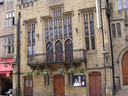
Nearby attractions include: Durham Cathedral, Durham Castle, Durham University Museum of Archaeology, Durham Town Hall.
Frequently Asked Questions (FAQ)
Which popular attractions are close to Elvet Bridge?
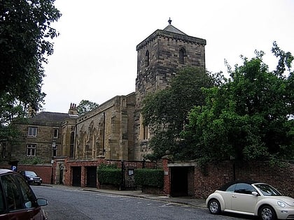
Nearby attractions include Durham Castle, Durham (3 min walk), University College, Durham (4 min walk), St Nicholas Church, Durham (4 min walk), Hatfield College, Durham (4 min walk).
How to get to Elvet Bridge by public transport?
The nearest stations to Elvet Bridge:
Bus
Train
Bus
- New Elvet • Lines: X12 (3 min walk)
- Claypath • Lines: 64, Belmont Park and Ride (4 min walk)
Train
- Durham (11 min walk)
