The Gates Shopping Centre, Durham
Map
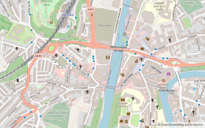
Map

Facts and practical information
The Gates Shopping Centre was a shopping centre in Durham, England. It was located on the west side of the River Wear between Framwellgate Bridge and Milburngate Bridge, in the centre of Durham. ()
Coordinates: 54°46'38"N, 1°34'43"W
Day trips
The Gates Shopping Centre – popular in the area (distance from the attraction)
Nearby attractions include: Durham Cathedral, Durham Castle, Prebends Bridge, Durham University Museum of Archaeology.
Frequently Asked Questions (FAQ)
Which popular attractions are close to The Gates Shopping Centre?
Nearby attractions include Durham Indoor Market, Durham (1 min walk), Framwellgate Bridge, Durham (3 min walk), St Margaret's Church, Durham (3 min walk), Durham Town Hall, Durham (3 min walk).
How to get to The Gates Shopping Centre by public transport?
The nearest stations to The Gates Shopping Centre:
Bus
Train
Bus
- Freemans Place Coach Park • Lines: 40A (3 min walk)
- Leazes Road • Lines: 64, Belmont Park and Ride (3 min walk)
Train
- Durham (6 min walk)
