Perivale, London
Map
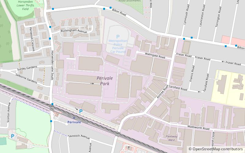
Map

Facts and practical information
Perivale is an area of Greater London, 9.5 miles west of Charing Cross. It is the smallest of the seven towns which make up the London Borough of Ealing. ()
Address
Ealing (Perivale)London
ContactAdd
Social media
Add
Day trips
Perivale – popular in the area (distance from the attraction)
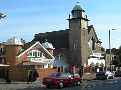
Nearby attractions include: Horsenden Hill, Shree Sanatan Hindu Mandir, Central Mosque Wembley, Perivale Wood.
Frequently Asked Questions (FAQ)
How to get to Perivale by public transport?
The nearest stations to Perivale:
Metro
Bus
Train
Metro
- Perivale • Lines: Central (5 min walk)
- Alperton • Lines: Piccadilly (22 min walk)
Bus
- Jubilee Road • Lines: 297 (6 min walk)
- Aintree Road • Lines: 297 (6 min walk)
Train
- South Greenford (21 min walk)
- Sudbury & Harrow Road (29 min walk)

 Tube
Tube
