Dumgoyne, Glasgow

Gallery (2)
Map
Map
Gallery
Facts and practical information
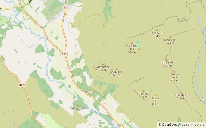
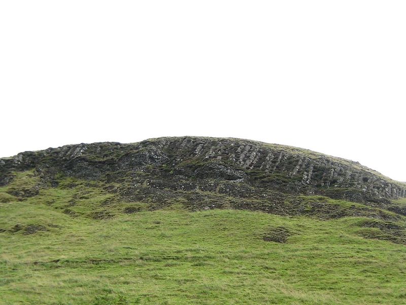
Dumgoyne is a hill prominent on the edge of the Campsie Fells and is a well-known landmark visible from Glasgow. It is a volcanic plug and is 427 m high. The plug is readily reached from a path beside Glengoyne Distillery or via a water-board track from the contiguous villages of Strathblane and Blanefield 3 miles to the east or Killearn to the west. ()
Address
Glasgow
ContactAdd
Social media
Add
Day trips


