Torwood Castle
Map

Map

Facts and practical information
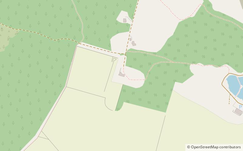
Torwood Castle is a ruined 16th-century L-plan castle near the village of Torwood, in the Falkirk Council area of central Scotland. It was designated as a Category A listed building in 1979. The Buildings at Risk Register for Scotland originally listed its level of risk as low, but raised that level to moderate in mid-2019 after seeing signs of continued neglect. ()
Coordinates: 56°2'17"N, 3°52'12"W
Day trips
Torwood Castle – popular in the area (distance from the attraction)
Nearby attractions include: Falkirk Wheel, Brucefields Family Golf Centre, Dunmore Pineapple, Rough Castle Fort.


