St Anne's Church, Cardiff
Map

Map

Facts and practical information
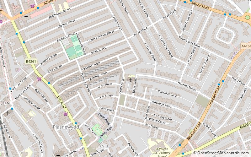
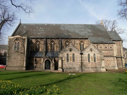
St Anne's Church, Roath is a disused church on the corner of Snipe Street and Croft Street, in Roath, Cardiff, Wales. It closed in 2015 after 128 years of worship. ()
Completed: 1887 (139 years ago)Architectural style: Gothic revivalCapacity: 350Coordinates: 51°29'24"N, 3°9'50"W
Address
Canol Dinas Caerdydd (Plasnewydd)Cardiff
ContactAdd
Social media
Add
Day trips
St Anne's Church – popular in the area (distance from the attraction)
Nearby attractions include: National Museum Cardiff, Capitol Centre, Eglwys Dewi Sant, City United Reformed Church.
Frequently Asked Questions (FAQ)
Which popular attractions are close to St Anne's Church?
Nearby attractions include The Gate, Cardiff (6 min walk), Roath Library, Cardiff (7 min walk), Albany Road Baptist Church, Cardiff (8 min walk), St Peter's Church, Cardiff (8 min walk).
How to get to St Anne's Church by public transport?
The nearest stations to St Anne's Church:
Bus
Train
Bus
- Talworth Street • Lines: 8 (6 min walk)
- St Peter's Street • Lines: 8 (6 min walk)
Train
- Cardiff Queen Street (16 min walk)
- Cathays (17 min walk)


