West Park, Leeds
Map

Gallery

Facts and practical information
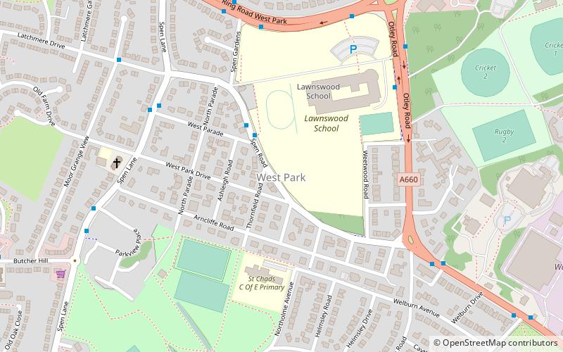
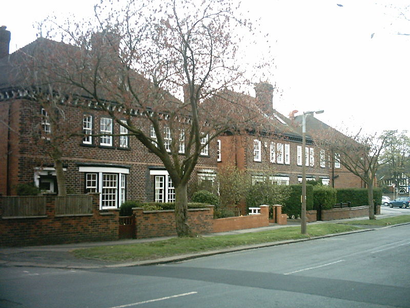
West Park is a suburb of north-west Leeds, West Yorkshire, England, north of Headingley. It is a mixed area of private suburban housing and suburban council estates. The name derives from its main park containing playing fields together with a conservation area of grassy meadow ending in woodland. The largest housing estate in West Park is Moor Grange. ()
Coordinates: 53°50'5"N, 1°35'50"W
Address
WeetwoodLeeds
ContactAdd
Social media
Add
Day trips
West Park – popular in the area (distance from the attraction)
Nearby attractions include: Headingley Carnegie Stadium, Kirkstall Abbey, Abbey House Museum, Headingley Castle.
Frequently Asked Questions (FAQ)
Which popular attractions are close to West Park?
Nearby attractions include Moor Grange, Leeds (10 min walk), St Chad's Church, Leeds (17 min walk), Far Headingley, Leeds (18 min walk), Hawksworth, Leeds (19 min walk).
How to get to West Park by public transport?
The nearest stations to West Park:
Bus
Train
Bus
- Spen Road West Parade • Lines: 27 (2 min walk)
- Lawnswood School • Lines: 6, 8 (5 min walk)
Train
- Headingley (30 min walk)


