Torberry Hill, Sussex Downs AONB
Map

Gallery

Facts and practical information
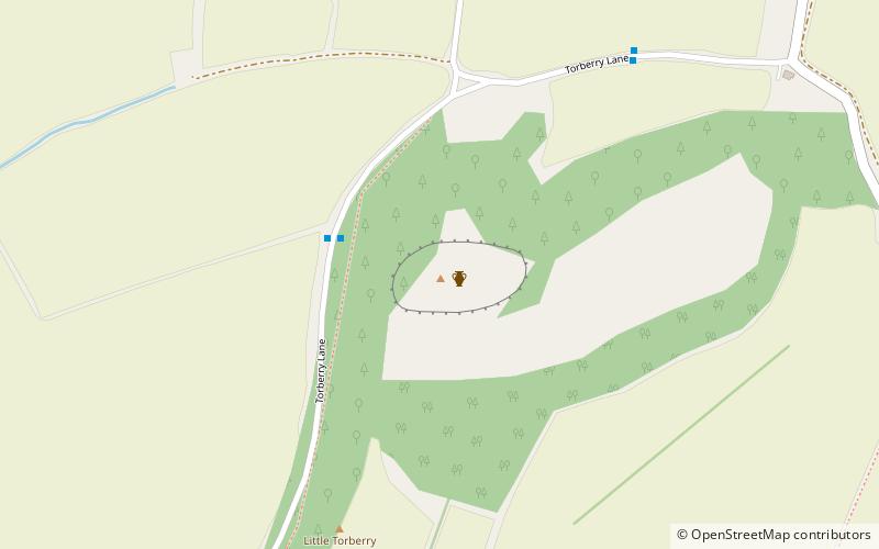
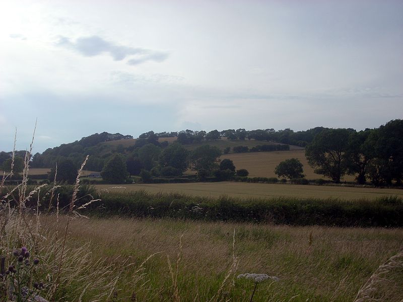
Torberry Hill is an Iron Age hillfort in the county of West Sussex, in southern England. It is a Scheduled Ancient Monument, with a list entry identification number of 1015966. The hill fort is located within the parish of Harting, within the South Downs National Park. The hill includes the remains of an Early Iron Age univallate hill fort, a Middle Iron Age promontory fort and a post-medieval post mill. The hill is a chalk spur projecting northwards from the South Downs. ()
Coordinates: 50°58'37"N, 0°53'32"W
Address
Sussex Downs AONB
ContactAdd
Social media
Add
Day trips
Torberry Hill – popular in the area (distance from the attraction)
Nearby attractions include: Uppark, Hollycombe Steam Collection, Buriton Chalk Pit, Petersfield Museum.


