Recreation Ground, Tredegar
#4 among attractions in Tredegar
![Recreation Ground location map](https://tzmedia.b-cdn.net/media/images/static-maps/gb/51_7662_-3_24511.jpg)
Facts and practical information
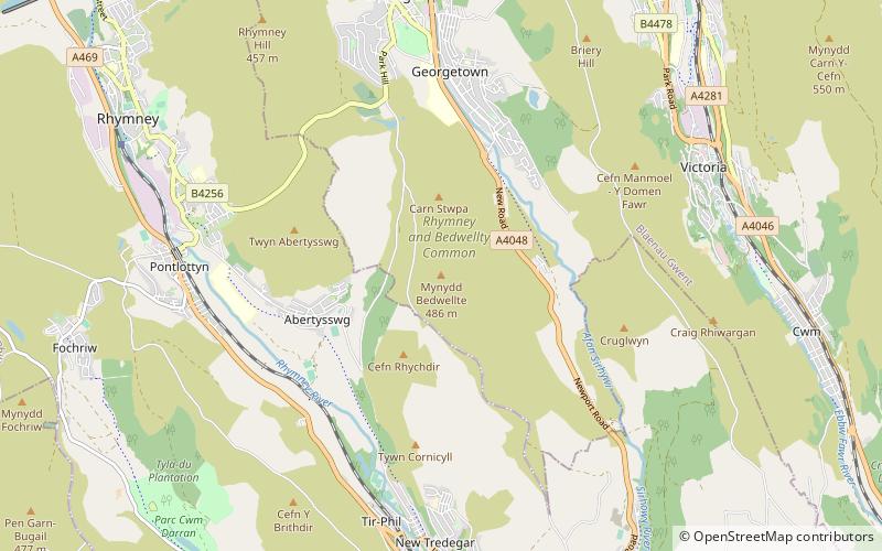
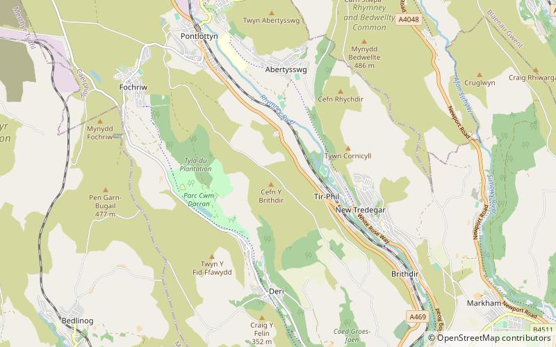
The Recreation Ground, Tredegar is a cricket ground and former greyhound racing and speedway stadium in Tredegar, Blaenau Gwent, south-east Wales. ()
Tredegar United Kingdom
Recreation Ground – popular in the area (distance from the attraction)
Nearby attractions include: Bedwellty House and Park, Mynydd Cilfach-yr-encil, Abertillery & District Museum, Mynydd Bedwellte.
~960 ftNPark, History museum, MuseumBedwellty House and Park, Tredegar
5 min walk • Bedwellty House is a Grade II-listed house and gardens in Tredegar, in the Sirhowy Valley in south-east Wales. It was built in the early 19th century on the site of an earlier building and subsequently enlarged into its present form by mid-century.
4.9 miSWNature, Natural attraction, MountainMynydd Cilfach-yr-encil
125 min walk • Mynydd Cilfach-yr-encil attains a height of 445m at OS grid reference SO 079033 making it the high point of the broad ridge of high ground between Taff Vale and Cwm Bargod in the Valleys region of South Wales.
5.4 miSE51°43'48"N • 3°8'2"WAbertillery & District Museum, Abertillery
137 min walk • Specialty museum, Museum
1.4 miSNature, Natural attraction, MountainMynydd Bedwellte
36 min walk • Mynydd Bedwellte is the name given to the broad ridge of high ground between the Rhymney Valley and the Sirhowy Valley in the Valleys region of South Wales. It straddles the boundary of the unitary areas of Caerphilly and Blaenau Gwent.
4.8 miSNature, Natural attraction, ValleyRhymney Valley
122 min walk • The Rhymney Valley is one of the South Wales valleys, with the Rhymney River forming the border between the historic counties of Glamorgan and Monmouthshire. Between 1974 and 1996 a Rhymney Valley local government district also existed.
4.6 miNNature, Natural attraction, CaveChartist Cave, Brecon Beacons
118 min walk • Chartist Cave is a culturally significant cave on Mynydd Llangynidr in southern Powys, Wales. The entrance is a broad arch formed of Twrch Sandstone which overlies the Carboniferous Limestone immediately beneath.
4.7 miWChurchSt John's Church, Merthyr Tydfil
120 min walk • St John's Church is a defunct Grade II listed church in the village of Dowlais, near Merthyr Tydfil in Wales. The church was built in 1827 for local ironworks manager Sir John Josiah Guest, at a cost of £3000. It was gradually completely rebuilt later in the century, in a Gothic style, finishing with the main nave and aisle in 1893/4.
3.3 miNETowerNantyglo Round Towers
83 min walk • Nantyglo Round Towers are located at Roundhouse Farm, Nantyglo, near Brynmawr in the borough of Blaenau Gwent in the South Wales Valleys.
4.8 miNWNature, Natural attraction, MountainCefn yr Ystrad, Brecon Beacons
124 min walk • Cefn yr Ystrad is a mountain in the Brecon Beacons National Park in Wales. It is an outlier of the Central Beacons group. The broad northeast - southwest aligned ridge reaches an elevation of 619 metres.
2.9 miSNature, Natural attraction, MountainCefn y Brithdir
73 min walk • Cefn y Brithdir is the name given to the broad ridge of high ground between the Rhymney Valley and Cwm Darran in the Valleys region of South Wales. It lies within the unitary area of Caerphilly.
2.8 miENature, Natural attraction, MountainMynydd Carn-y-cefn
72 min walk • Mynydd Carn-y-cefn is the name given to the broad ridge of high ground between the Ebbw Vale and the valley of the Ebbw Fach in the Valleys region of South Wales. It lies within the unitary area of Blaenau Gwent, formerly Monmouthshire.