Cavendish Bridge, Shardlow
Map

Gallery

Facts and practical information
Cavendish Bridge is a bridge over the River Trent, connecting the counties of Leicestershire and Derbyshire; it is also the name of a hamlet on the Leicestershire side of the river within the Castle Donington parish. This bridge once carried the main London-Manchester turnpike, though the modern A6/A50 dual carriageway has now been built to the south bypassing the crossing. ()
Coordinates: 52°51'54"N, 1°20'13"W
Address
Shardlow
ContactAdd
Social media
Add
Day trips
Cavendish Bridge – popular in the area (distance from the attraction)
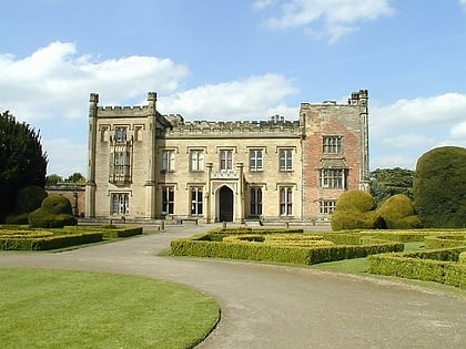
Nearby attractions include: Donington Park, Donnington park, Elvaston Castle, St James' Church.
Frequently Asked Questions (FAQ)
How to get to Cavendish Bridge by public transport?
The nearest stations to Cavendish Bridge:
Bus
Bus
- Old Crown Inn • Lines: SkyLink (2 min walk)
- Cavendish Bridge • Lines: SkyLink (3 min walk)


