Knightswood St Margaret's Parish Church, Glasgow
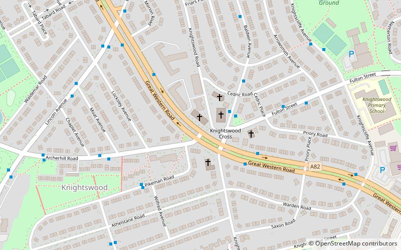
Map

Map

Facts and practical information
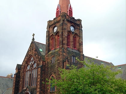
Knightswood St. Margaret's Parish Church is a parish church of the Church of Scotland, serving part of the Knightswood area of Glasgow, Scotland. ()
Coordinates: 55°53'42"N, 4°20'30"W
Day trips
Knightswood St Margaret's Parish Church – popular in the area (distance from the attraction)
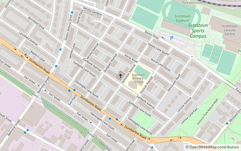
Nearby attractions include: Broomhill Parish Church, Scotstoun Parish Church, Jordanhill Parish Church, Drumchapel St Andrew's Church.
Frequently Asked Questions (FAQ)
Which popular attractions are close to Knightswood St Margaret's Parish Church?
Nearby attractions include Anniesland, Glasgow (13 min walk), Anniesland Court, Glasgow (19 min walk), Jordanhill, Glasgow (19 min walk), Blairdardie, Glasgow (21 min walk).
How to get to Knightswood St Margaret's Parish Church by public transport?
The nearest stations to Knightswood St Margaret's Parish Church:
Train
Bus
Train
- Westerton (19 min walk)
- Scotstounhill (21 min walk)
Bus
- Kelvindale, Dorchester Avenue/ Dorchester Place • Lines: 94 (28 min walk)
- Dumbarton Road / Stronvar Lane • Lines: 2 (29 min walk)


