Dawsholm Park, Glasgow
Map

Map

Facts and practical information
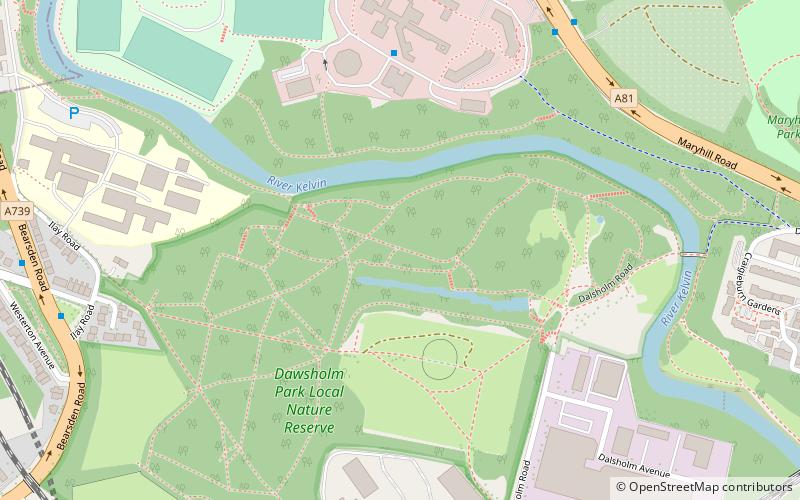
Dawsholm Park is a public park in Glasgow, Scotland, adjoining the Kelvindale, Maryhill and Temple areas of the city, and southern parts of the town of Bearsden. It is situated on the River Kelvin, north of the River Clyde. The park covers an area of 33 hectares, and consists mostly of woodland, with some grass and wildflower meadows in the southeast area of the park. ()
Created: 1922Elevation: 157 ft a.s.l.Coordinates: 55°53'57"N, 4°18'46"W
Address
bearsden roadMaryhillGlasgow
ContactAdd
Social media
Add
Day trips
Dawsholm Park – popular in the area (distance from the attraction)
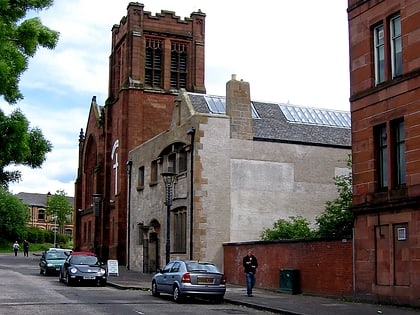
Nearby attractions include: Ruchill Church Hall, Jordanhill Parish Church, Bearsden, Ruchill Parish Church.
Frequently Asked Questions (FAQ)
Which popular attractions are close to Dawsholm Park?
Nearby attractions include Dawsholm Park, Glasgow (3 min walk), Kelvin Aqueduct, Glasgow (16 min walk), Kelvindale, Glasgow (17 min walk), Anniesland Court, Glasgow (20 min walk).
How to get to Dawsholm Park by public transport?
The nearest stations to Dawsholm Park:
Bus
Train
Bus
- Maryhill, Maryhill Road/ Acre Road • Lines: 17, 60, 60A, 8, C8, N60 (7 min walk)
- Kelvindale, Dorchester Avenue/ Cleveden Road • Lines: 94 (13 min walk)
Train
- Kelvindale (11 min walk)
- Maryhill (12 min walk)


