Lochburn Park, Glasgow
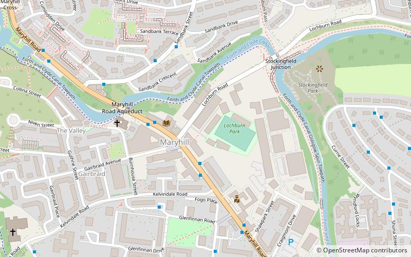
Map
Facts and practical information
Lochburn Park is a football stadium in the Maryhill area of Glasgow, Scotland. It is the home ground Maryhill F.C. of the Scottish Junior Football Association West Region, who have played there since the late 19th century. ()
Capacity: 1800Coordinates: 55°53'28"N, 4°17'21"W
Address
North KelvinGlasgow
ContactAdd
Social media
Add
Getting there by public transportation
Public transportation stops near this location
- Metro
- Bus
- Train
 Metro
Metro
- Calculate routeMaryhill, Maryhill Road/ Lochburn Road 2 min walk
- Calculate routeMaryhill, Sandbank Street/ Cumlodden Drive 4 min walk
- Calculate routeGilshochill 13 min walk
- Calculate routeSummerston 14 min walk
- Calculate routeMaryhill 17 min walk
- Calculate routeKelvindale 22 min walk
- Calculate routeHillhead 29 min walk
- Calculate routeKelvinbridge 32 min walk
Day trips


Frequently Asked Questions (FAQ)
Which popular attractions are close to Lochburn Park?
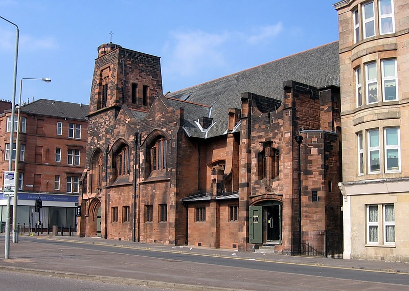
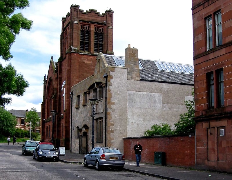
Nearby attractions include Maryhill Burgh Halls, Glasgow (2 min walk), Stockingfield Junction, Glasgow (5 min walk), Wyndford, Glasgow (7 min walk), Ruchill Parish Church, Glasgow (10 min walk).
How to get to Lochburn Park by public transport?
The nearest stations to Lochburn Park:
Bus
Train
Metro
Bus
- Maryhill, Maryhill Road/ Lochburn Road • Lines: 15, 17, 60, 60A, 61, 8, C8, N60 (2 min walk)
- Maryhill, Sandbank Street/ Cumlodden Drive • Lines: 8 (4 min walk)
Train
- Gilshochill (13 min walk)
- Summerston (14 min walk)
Metro
- Hillhead • Lines: Subway (29 min walk)
- Kelvinbridge • Lines: Subway (32 min walk)