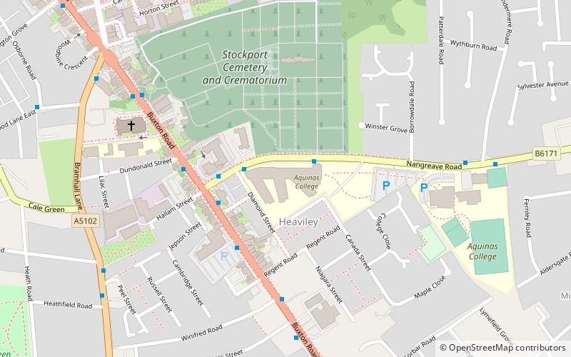
Aquinas College, Stockport
Map

Map

Facts and practical information
Aquinas College in Stockport, Greater Manchester, England, is a Roman Catholic sixth form college, established in 1980 by the Diocese of Shrewsbury. The college is named after St. Thomas Aquinas. ()
Coordinates: 53°23'46"N, 2°8'50"W
Day trips
Aquinas College – popular in the area (distance from the attraction)
Nearby attractions include: Merseyway Shopping Centre, Hat Works Museum, St Mary's Church, Edgeley Park.
Frequently Asked Questions (FAQ)
Which popular attractions are close to Aquinas College?
Nearby attractions include St George's Church, Stockport (5 min walk), St Thomas' Church, Stockport (16 min walk), Stockport College, Stockport (18 min walk), Our Lady and the Apostles Church, Stockport (19 min walk).
How to get to Aquinas College by public transport?
The nearest stations to Aquinas College:
Bus
Train
Bus
- Heaviley, Nangreave Road / outside Aquinas College • Lines: 375 (2 min walk)
- Nangreave Road/Buxton Road • Lines: 375 (2 min walk)
Train
- Davenport (11 min walk)
- Woodsmoor (19 min walk)


