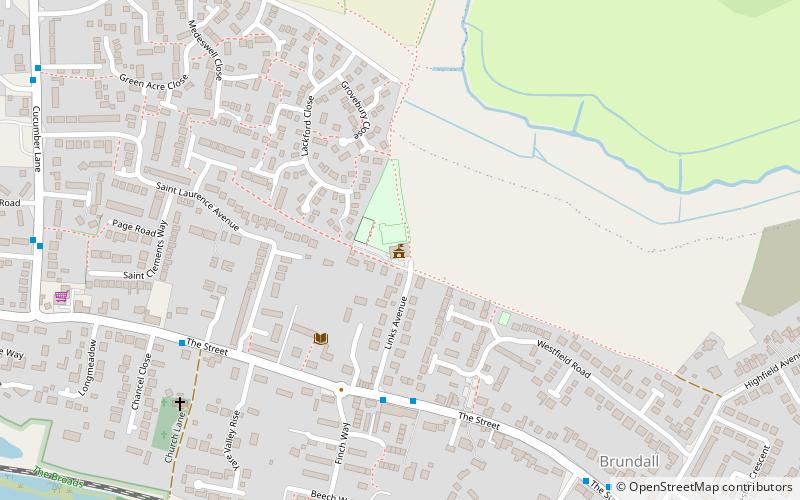
Brundall Memorial Hall, Brundall

Gallery (1)
Map
Map
Facts and practical information
Brundall Memorial Hall is a place located in Brundall (England kingdom) and belongs to the category of city hall.
It is situated at an altitude of 52 feet, and its geographical coordinates are 52°37'34"N latitude and 1°26'0"E longitude.
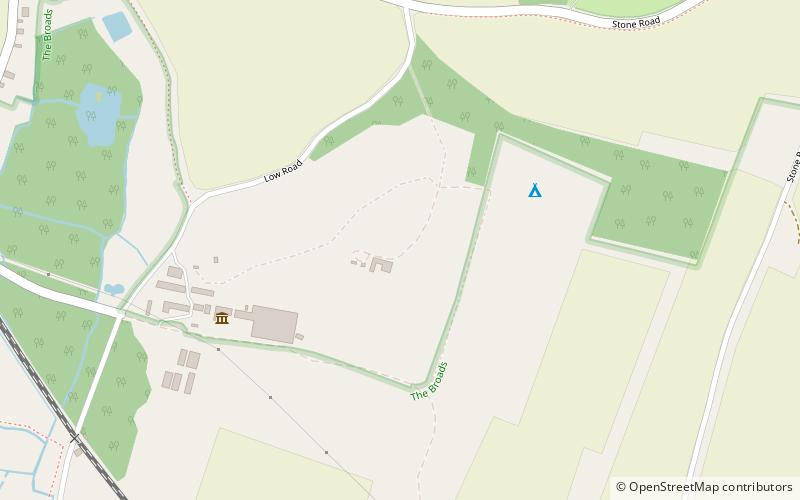
Among other places and attractions worth visiting in the area are: Church of St Michael and All Angels (church, 20 min walk), Strumpshaw Fen RSPB reserve, Norfolk Broads (locality, 43 min walk), Strumpshaw Fen RSPB reserve, Norfolk Broads (nature and wildlife, 43 min walk).
Coordinates: 52°37'34"N, 1°26'0"E
Day trips