Whitlingham Marsh, Norwich
Map

Map

Facts and practical information
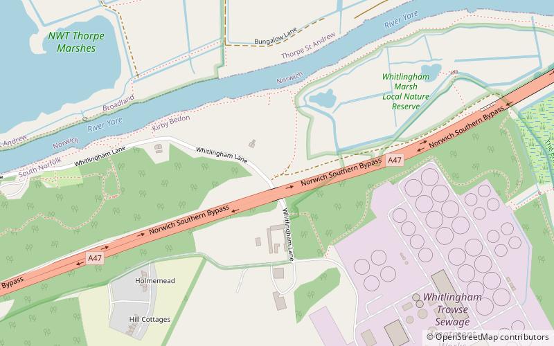
Whitlingham Marsh is a 15.5-hectare Local Nature Reserve in Norwich in Norfolk. It is owned by South Norfolk District Council and managed by the Whitlingham Charitable Trust and the Broads Authority. ()
Elevation: 26 ft a.s.l.Coordinates: 52°37'15"N, 1°21'34"E
Address
Norwich
ContactAdd
Social media
Add
Day trips
Whitlingham Marsh – popular in the area (distance from the attraction)
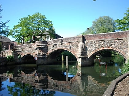
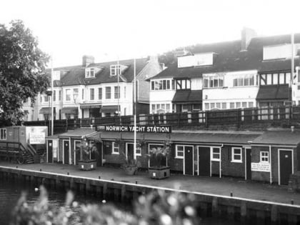
Nearby attractions include: Carrow Road, Cow Tower, Bishop Bridge, Norwich Yacht Station.
Frequently Asked Questions (FAQ)
How to get to Whitlingham Marsh by public transport?
The nearest stations to Whitlingham Marsh:
Bus
Bus
- Primrose Crescent, opp • Lines: 14, 15, 15A, 52, 53 (13 min walk)
- Primrose Crescent, adj • Lines: 14, 15, 15A, 31, 52, 53 (14 min walk)


