Moel Oernant, Snowdonia National Park
Map
Gallery
Facts and practical information
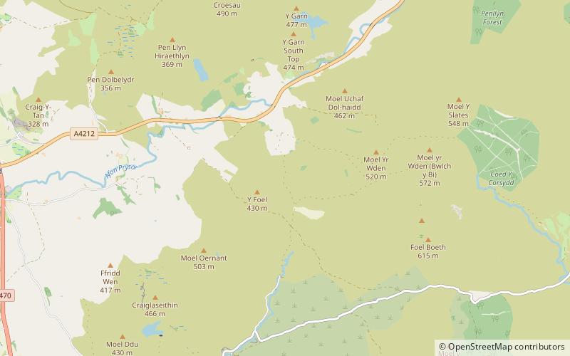
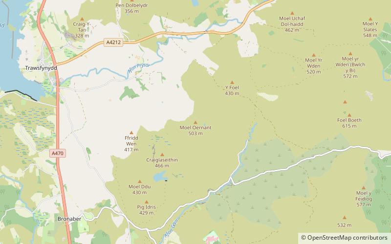
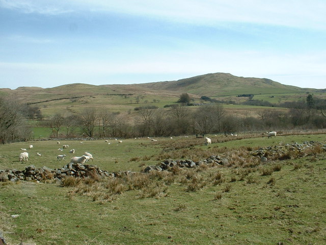
Moel Oernant is a 503 metres high hill in the community of Trawsfynydd in the county of Gwynedd in North Wales. It has a number of western tops, the highest of which reaches a height of 466 metres overlooking the waterbody known as Llyn Gelli-Gain and another at Frîdd Wen exceeds 410 metres. To the south of the lake is the top of Pîg Idris which reaches 429m. The minor top of Y-Foel attains 430m to the northeast of Moel Oernant. ()
Elevation: 1650 ftCoordinates: 52°53'22"N, 3°52'10"W
Address
Snowdonia National Park
ContactAdd
Social media
Add
Day trips
Moel Oernant – popular in the area (distance from the attraction)
Nearby attractions include: Pistyll Cain, Arenig Fawr, Tomen y Mur, Cwm Prysor Viaduct.


