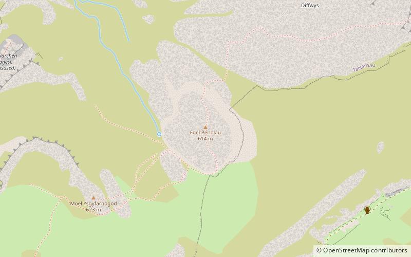
Foel Penolau, Snowdonia National Park
Map

Map

Facts and practical information
Foel Penolau is a mountain close to Moel Ysgyfarnogod in Snowdonia, North Wales and is the northernmost summit of the Rhinogydd, and overlooks Llyn Trawsfynydd. From the summit it is possible to see the towns of Porthmadog and Blaenau Ffestiniog. As a result of a revised survey of its topographical prominence, Foel Penolau gained Hewitt and Simms status in December 2018 when its prominence was measured to be above 30 m. ()
Elevation: 2014 ftProminence: 105 ftCoordinates: 52°53'39"N, 3°59'27"W
Address
Snowdonia National Park
ContactAdd
Social media
Add
Day trips
Foel Penolau – popular in the area (distance from the attraction)
Nearby attractions include: St Twrog's Church, Tomen y Mur, Pont Briwet, Bryn Cader Faner.
Frequently Asked Questions (FAQ)
Which popular attractions are close to Foel Penolau?
Nearby attractions include Moel Ysgyfarnogod, Snowdonia National Park (6 min walk), Bryn Cader Faner, Snowdonia National Park (23 min walk).


