Wolves Wood

Gallery (1)
Map
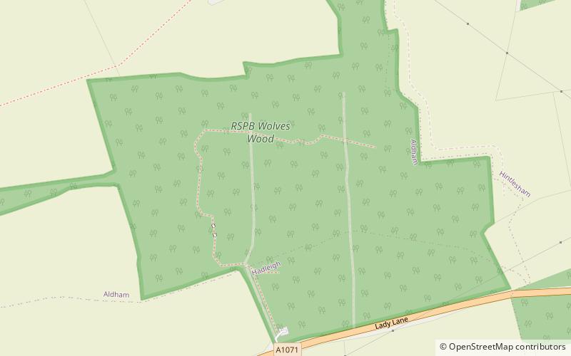
Map
Facts and practical information
Wolves Wood is a woodland near Hadleigh, Suffolk. It is one of 7 ancient woodland areas within Suffolk. An ancient woodland is defined as a site that has been continuously occupied by woodland from the year 1600 or before. ()
Coordinates: 52°3'22"N, 0°59'40"E
Location
England
ContactAdd
Social media
Add
Day trips


