Riverside Walk, Hadleigh
Map

Map

Facts and practical information
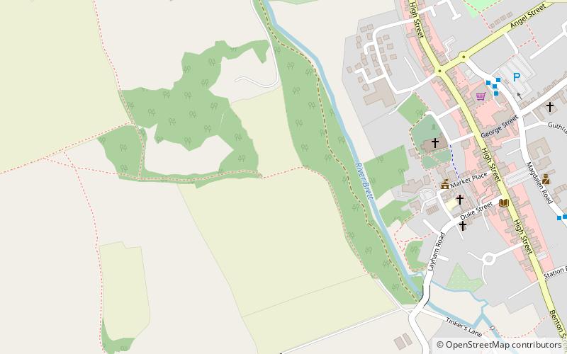
Riverside Walk is a 4.6-hectare Local Nature Reserve on the western outskirts of Hadleigh in Suffolk. It is owned and managed by Babergh District Council. ()
Elevation: 82 ft a.s.l.Coordinates: 52°2'35"N, 0°56'53"E
Address
Hadleigh
ContactAdd
Social media
Add
Day trips
Riverside Walk – popular in the area (distance from the attraction)
Nearby attractions include: Valley Ridge, St Mary's Church, St Mary, St Mary's Church.


